Disclosure : This site contains affiliate links to products. We may receive a commission for purchases made through these links.
Zakros – Vai – Sitia Anavasi 11.16
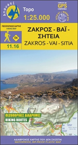
Zakros – Vai – Sitia area on the easternmost tip of Crete on a light, waterproof and tear-resistant, GPS compatible and contoured, double-sided hiking map at 1:25,000 from Anavasi. Coverage along the northern coast starts at Sitia, extending south to cover the Zakros Mountains and the eastern coast south of Kato Zakros.Topography is shown by contour lines at 20m intervals, enhanced by hill-shading and altitude colouring, plus spot heights. Footpaths are clearly marked, indicating well defined or less obvious sections; also shown are locations of fences which can be opened by hikers. 12 recommended hiking trails, plus two cycling and two car routes are prominently highlighted and cross-referenced to a list showing their lengths and approximate timings. Road network indicates dirt roads in poor condition. Symbols highlight beaches, archaeological sites, monasteries, etc. Place names are shown in both Greek and Latin alphabets. The map has a 1km UTM grid and latitude and longitude crosshairs at 1` intervals. Map legend and all the text include English.To see other titles in Anavasi’s coverage of Crete on hiking maps please click on the series link.


