Disclosure : This site contains affiliate links to products. We may receive a commission for purchases made through these links.
Yucatan ITMB
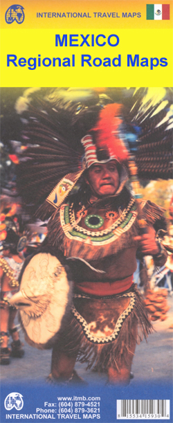
Double-sided, indexed road map of the region, printed on durable waterproof paper. Coverage divides the area into north and south sections, and includes all of Belize. General relief is portrayed by the publisher’s characteristic altitude tinting, and selected altitudes are marked. Reefs and swamp/mangrove areas are indicated and national parks/reserve areas are marked. Road detail includes tertiary roads and selected tracks, with locations of selected petrol stations and intermediate distances marked on many routes. Main railways and major ferry connections are also included, and time-zone and provincial boundaries are shown. Symbols show campgrounds, trailer parks, airports, airstrips, points of interest, archaeological sites, lighthouses, harbours, viewpoints, etc. Latitude and longitude lines are drawn at 30’ intervals. Map legend is in English and Spanish.This title is part of a series of detailed touring maps of Mexico published by ITMB.

Related Products:
 Yucatan State – Mรฉrida
 Bolivia ITMB
 Alaska F&B
 Thailand ITMB
 Venezuela F&B
 Vietnam – Laos – Cambodia F&B
 France North F&B
 Sonora & Sinaloa ITMB
 China East ITMB
 France South F&B
 Jordan & Syria ITMB
 Bali – Lombok – Komodo F&B
 Panama ITMB
 Madagascar ITMB
 Oaxaca & Chiapas ITMB
 Germany North F&B
 Greece 700K F&B
 China ITMB
 Mexico Border States: Coahuila, Nuevo Leon, Tamaulipas ITMB
 Germany South F&B
 Romania – Moldova F&B
 Caucasus ITMB
 Guatemala ITMB
 Pyrenees F&B
 Central America ITMB
 Armenia & Azerbaijan ITMB
 Peru ITMB
 Algeria ITMB
 South Tyrol – Trentino – Lake Garda – Veneto F&B
 Mexico North ITMB
 Sudan ITMB
 Mexico North-East ITMB
 Sierra Leone ITMB
 South Africa – Lesotho – Swaziland ITMB
 Carinthia – Northern Adriatic Coast F&B
 Netherlands F&B
 Africa Northwest ITMB