Disclosure : This site contains affiliate links to products. We may receive a commission for purchases made through these links.
Yemen F&B
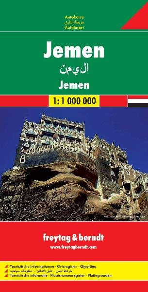
Yemen at 1:1,000,000 from Freytag & Berndt with a separate booklet attached to the map cover also providing plans showing main streets and districts of Sana’a and Aden. All place names are given in Latin alphabet only.Topography is shown by relief shading, but disappointingly very little topographic information is included when compared with alternative coverage. The map shows the country’s road network, including selected desert tracks, with distances shown on main routes. Locations of border crossing are marked. Also shown are internal administrative boundaries with names of the provinces. The map has latitude and longitude lines at 1ยฐ intervals. Multilingual map legend includes English.The index is in a separate booklet attached to the map cover and includes plans of central Sana’a and Aden, naming main streets, districts and various places of interest.

Related Products:
 Yemen – Gulf of Aden Wall Map
 Oman & Yemen ITMB
 Middle East F&B
 Yemen Reise Know-How
 Ukraine – Moldova F&B
 China – Mongolia – Taiwan F&B
 Belarus F&B
 Central Asia F&B
 Salzburg F&B Street Plan
 Namibia F&B
 Europe Central F&B
 Europe Eastern F&B
 Poland 500K F&B
 World Marco Polo folded map
 Europe Western F&B
 Thailand – Vietnam – Myanmar / Burma – Cambodia – Laos Marco Polo Map
 Munich F&B
 Belfast OSNI Street Plan
 Moscow Jana Seta Street Plan
 Morocco F&B
 Northern Europe – Scandinavia F&B
 Australia F&B
 Syria – Lebanon
 Munich F&B Wall Map
 Cuba Marco Polo Map
 Brabant Provinces (Flemish and Wallon) and Brussels Region
 Leeds A-Z Street Plan Wall Map
 Munich F&B Wall Map – with Metal Hanging Strips
 Iran Gizi Map
 Iran Wall Map
 Germany Administrative F&B Wall Map
 Sweden F&B
 Togo & Benin ITMB
 Albania F&B Top 10 Tips
 Hungary F&B
 Caucasus F&B
 Spain – Portugal F&B
 Budapest Classic Plan
 Budapest Comfort Plan