Disclosure : This site contains affiliate links to products. We may receive a commission for purchases made through these links.
Yeading 1894
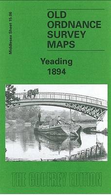
Yeading in 1894 in a fascinating series of reproductions of old Ordnance Survey plans in the Alan Godfrey Editions, ideal for anyone interested in the history of their neighbourhood or family. The map covers parts of three Middlesex parishes: Northolt to the top, Hayes to the south, and Southall in the south-east. It is an entirely rural map, showing the hamlet of Yeading, with its Manor Farm and Industry pub in the south-western quarter of the map, and a stretch of the Grand Junction Canal with various docks for the brickfields running north-south near the eastern side of the map. On the reverse are directories for Hayes and Northolt, plus a plan of the New Patent Brick Co and its canal access. Please note that the eastern half of this map, covering the canal area, is also included on the Greenford map 15.07.About the Alan Godfrey Editions of the 25″ OS Series:Selected towns in Great Britain and Ireland are covered by maps showing the extent of urban development in the last decades of the 19th and early 20th century. The plans have been taken from the Ordnance Survey mapping and reprinted at about 15 inches to one mile (1:4,340). On the reverse most maps have historical notes and many also include extracts from contemporary directories. Most maps cover about one mile (1.6kms) north/south, one and a half miles (2.4kms) across; adjoining sheets can be combined to provide wider coverage.FOR MORE INFORMATION AND A COMPLETE LIST OF ALL AVAILABLE TITLES PLEASE CLICK ON THE SERIES LINK.

Related Products:
 Southall 1894
 Greenford 1894
 Northolt 1935
 Hayes 1907
 Bromley Common and North-East Hayes 1895
 Ilford 1894
 Dunston 1894
 South Harrow and Northolt Park 1935
 Stoke Newington 1894 – 30.2
Durham City East 1894
Stoke Newington 1894 – 30.2
Durham City East 1894
 Bethnal Green & Bow 1894 – 52.2
 Beckenham South 1894
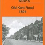 Old Kent Road 1894 – 90.2
North Shields and Chirton 1894
Old Kent Road 1894 – 90.2
North Shields and Chirton 1894
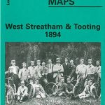 West Streatham & Tooting 1894 – 135a
 Wood Green 1894 – 7.2
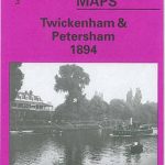 Twickenham & Petersham 1894 – 122
Kensal Green & Queen`s Park 1894 – 47.2
Newcastle & Gateshead 1894 – 18a
Seaton Carew 1894
Twickenham & Petersham 1894 – 122
Kensal Green & Queen`s Park 1894 – 47.2
Newcastle & Gateshead 1894 – 18a
Seaton Carew 1894
 East Finchley 1894 – 10.2
 Shortlands 1894
Central Newcastle 1894 – 11a
Shortlands 1894
Central Newcastle 1894 – 11a
 Alexandra Park & South Friern 1894 – 6a
 Putney & NW Wandsworth 1894 – 113.2
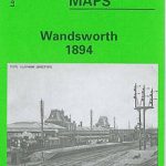 Wandsworth 1894 – 114a
Govan 1894
Wandsworth 1894 – 114a
Govan 1894
 Euston & Regent`s Park 1894 – 49.2
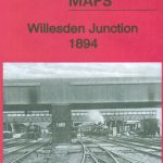 Willesden Junction 1894
 Tottenham (North) 1894 – 8a
 Dalston 1894 – 40.2
North Kirkcaldy & Dysart 1894 – 36.05
Dalston 1894 – 40.2
North Kirkcaldy & Dysart 1894 – 36.05
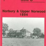 Norbury and Upper Norwood 1894
 Isleworth 1894
 Upper Edmonton 1894 – 3a
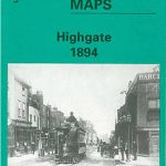 Highgate 1894 – 19.2
 Perivale 1894
Felling 1894
Perivale 1894
Felling 1894
 Pimlico, Sloane Square & Nine Elms 1894 – 88.2
 Hammersmith & Fulham 1894 – 86.2