Disclosure : This site contains affiliate links to products. We may receive a commission for purchases made through these links.
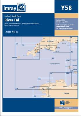
Y58 River Fal SUPERCEDED
Related Products:
 NOAA Chart 11553 – Intracoastal Waterway’”Albemarle Sound to Neuse River – Alligator River – Second Creek SUPERCEDED
 The River Medway and Approaches Y18 SUPERCEDED
 The River Nene SUPERCEDED
 Admiralty Chart SC5602_3 – River Fal Saint Just Pool to Truro River – Continuations of Truro River, Tresillian River and Carnon River
 Admiralty Chart SC5615_17 – River Forth Grangemouth Roads – River Forth, Grangemouth and River Carron – River Forth River Carron
 NOAA Chart 16662 – Cook Inlet’”Kalgin Island to North Foreland – Drift River – Kasilof River to Kenai River – Nikiski
 NOAA Chart 18661 – Sacramento and San Joaquin Rivers – Old River, Middle River and San Joaquin River extension – Sherman Island
 Admiralty Chart SC5600_4 – Lymington River – Continuation of Lymington River – Isle of Wight Yarmouth Harbour, River Yar
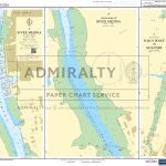 Admiralty Chart SC5600_22 – River Medina – Continuation of River Medina – River Medina, Folly Point to Newport
 Admiralty Chart SC5600_6 – Beaulieu River – Continuation of Beaulieu River – Isle of Wight, Newton River and Continuation
 Admiralty Chart SC5602_20 – Helford River – Helford River Continuation to Gweek – Continuation of River Fal. (Ruan Creek)
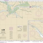 NOAA Chart 14931 – Grand River from Dermo Bayou to Bass River
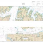 NOAA Chart 11553 – Neuse River and Upper Part of Bay River
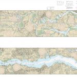 NOAA Chart 12237 – Rappahannock River’”Corrotoman River to Fredericksburg
 NOAA Chart 11432 – Everglades National Park’”Shark River to Lostmans River
 Admiralty Chart SC5602_18 – Upper Reaches of River Dart, River Yealm and Looe
 NOAA Chart 11408 – Crystal River to Horseshoe Point – Suwannee River – Cedar Keys
 Admiralty Chart 2783 – Essequibo River – Mamarikuru Is. to Bartica including the Entrance to the Mazaruni River
 SHOM Chart 7789 – De Pennington River ร Opobo River
 Admiralty Chart 2764 – Berbice River to Suriname River
 Admiralty Chart 1386 – Pennington River to Opobo River
 NOAA Chart 11554 – Intracoastal Waterway’”Albemarle Sound to Neuse River – Alligator River – Second Cree
 NOAA Chart 12248 – James River’”Newport News to Jamestown lsland – Back River and College Creek
 Admiralty Chart 572 – Essequibo River to Corentyn River
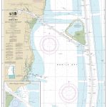 NOAA Chart 11380 – Mobile Bay’”East Fowl River to Deer River Point – Mobile Middle Bay Terminal
 NOAA Chart 14829 – Geneva to Lorain (Metric) – Beaver Creek – Rocky River – Mentor Harbor – Chagrin River Harbor
 NOAA Chart 18532 – Columbia River’”Bonneville to The Dalles – The Dalles – Hood River
 CEN304E Detroit River, Lake St.Clair, St.Clair River, 1996 – CHS Sailing Directions
 Admiralty Chart SC5615_21 – River Tyne Royal Quays to Willington Quay – River Tyne Willington Quay to Wincomblee – River Tyne Wincomblee to Newcastle Upon Tyne
 NOAA Chart 11490 – Approaches to St. Johns River – St. Johns River Entrance
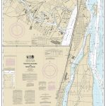 NOAA Chart 14854 – Trenton Channel and River Rouge – River Rouge
 NOAA Chart 18581 – Yaquina Bay and River – Continuation of Yaquina River
 NOAA Chart 14852 – St. Clair River – Head of St. Clair River
 The Wash – Y9 SUPERCEDED
 Y14 The Swale SUPERCEDED
 Y38 West Solent SUPERCEDED
 Atlantic Islands SUPERCEDED
 Fenland Waterways SUPERCEDED
 Y31 Christchurch to the Solent SUPERCEDED
 Y36 Central Solent SUPERCEDED


