Disclosure : This site contains affiliate links to products. We may receive a commission for purchases made through these links.
Y26 Milford Haven
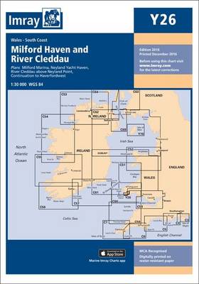
Includes plans for:Milford Marina (1:15 000)Neyland Yacht Haven (1:10 000)
Related Products:
 Admiralty Chart 3275 – Milford Haven Milford Dock to Picton Point
 Milford Haven: Waterway and Town
 Milford Haven 1906 – 33.14
 Milford Haven & District 1909 – 226
 Y100 Gibraltar Bay and Harbour
 Instructional Chart 5136 – Entrance to Milford Haven
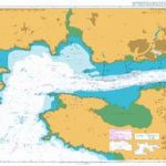 Admiralty Chart 3274 – Milford Haven Saint Ann`s Head to Newton Noyes Pier
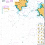 Admiralty Chart 3273 – Entrance to Milford Haven
 Admiralty Chart 2878 – Approaches to Milford Haven
 2600 Bristol Channel Chart Atlas – 2016 edition
 Y16 Walton To Ipswich & Woodbridge
 NOAA Chart 12371 – New Haven Harbor – New Haven Harbor (Inset)
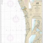 NOAA Chart 14906 – South Haven to Stony Lake – South Haven – Saugatuck Harbor – Port Sheldon
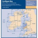 C51 Cardigan Bay
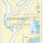 Admiralty Chart SC5610_1 – Loch Goil and Loch Long – Continuation of Loch Long – Largs Yacht Haven – Millport
 Milford Track
 Admiralty Chart NZ73 – Abut Head to Milford Sound
 NZ73 Abut Head to Milford Sound
 NOAA Chart 12370 – North Shore of Long Island Sound’”Housatonic River and Milford Harbor
 NZ7621 Milford Sound / Piopiotahi
 Admiralty Chart SC5607_8 – Rivers Ore and Ale – Orford Haven and Approaches
 Y33 Langstone and Chichester Harbours
 Y33 Langstone and Chichester Harbours SUPERCEDED
 Creative Haven Modern Tattoo Designs Coloring Book
 Y45 Plymouth Harbour
 NZ7622 Milford Sound / Piopiotahi to Sutherland Sound
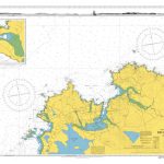 Admiralty Chart 2703 – Broad Haven Bay and Approaches
 Admiralty Chart 2420 – Aran Islands to Broad Haven Bay
 An Unsafe Haven
 2000 Suffolk and Essex Chart Atlas – 2018 edition
 Admiralty Chart 2811 – Sheep Haven to Lough Foyle including Inishtrahull
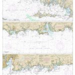 NOAA Chart 12372 – Long Island Sound’”Watch Hill to New Haven Harbor
 Y34 Chichester and Langstone Harbours
 Admiralty Chart SC5607_6 – Approaches to Harwich and Woodbridge Haven – Continuation of River Deben
 Fiordland: Milford Sound, Te Anu, Manapouri, Otautau
 Y34 Chichester and Langstone Harbours SUPERCEDED
 CHS Chart 4619 – Presque Harbour to Bar Haven Island and Paradise Sound
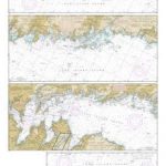 NOAA Chart 12364 – Long Island Sound’”New Haven Harbor Entrance and Port Jefferson to Throgs Neck
 2400 West Country Chart Pack – 2019 edition
 NOAA Chart 14933 – Grand Haven, including Spring Lake and Lower Grand River


