Disclosure : This site contains affiliate links to products. We may receive a commission for purchases made through these links.
Y14 The Swale SUPERCEDED
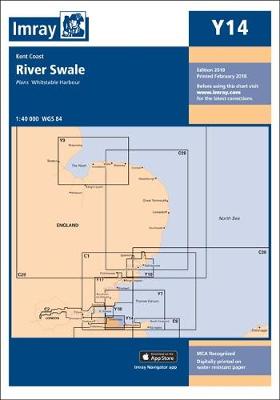
A brand new chart for 2018 covering the River Swale. This chart is a replica of Imray chart 2100.5. It is printed on water resistant paper.
Related Products:
 Y14 The Swale
 Y31 Christchurch to the Solent SUPERCEDED
 Y36 Central Solent SUPERCEDED
 Y32 Eastern Approach to the Solent SUPERCEDED
 Y7 Thames Estuary South
 Y34 Chichester and Langstone Harbours SUPERCEDED
 Y31 Christchurch to the Solent
 Y36 Central Solent
 Y32 Eastern Approach to the Solent
 Y36 Central Solent – Laminated Chart
 Y30 Isle of Wight
 Y35 Portsmouth Harbour and Approaches
 Y34 Chichester and Langstone Harbours
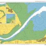
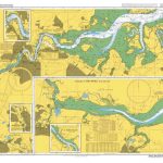 Admiralty Chart 2482 – River Medway and The Swale
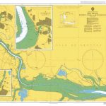
 Admiralty Chart 2571 – The Swale Whitstable to Harty Ferry
 Admiralty Chart 2572 – The Swale Windmill Creek to Queenborough
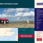 2100 Kent and Sussex Coasts Chart Atlas – 2021 edition
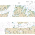 NOAA Chart 11553 – Intracoastal Waterway’”Albemarle Sound to Neuse River – Alligator River – Second Creek SUPERCEDED
 M12 Cabo de Gata to Denia & Ibiza SUPERCEDED
 Wicklow Central OSI Adventure Map
 E4 Arquipelago de Cabo Verde SUPERCEDED
 M9 South Sardegna SUPERCEDED
 Poole Harbour 2300.5 SUPERCEDED
 SHOM Chart 7336L – De Kenmare River ร Cork Harbour – Leisure A4 size
 Y38 West Solent SUPERCEDED
 Christchurch to the Solent – 2200.2 SUPERCEDED
 Exmouth to Salcombe – 2400.15 SUPERCEDED
 Y58 River Fal SUPERCEDED
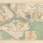 Stanford`s Chart of the Solent, Spithead and Southampton Water (1932) – A3 Wall Map, Paper – Print on Demand
 Stanford`s Chart of the Solent, Spithead and Southampton Water (1932) – A2 Wall Map, Paper – Print on Demand
 Stanford`s Chart of the Solent, Spithead and Southampton Water (1932) – A1 Wall Map, Paper – Print on Demand
 The River Medway and Approaches Y18 SUPERCEDED
 Stanford`s Chart of the Solent, Spithead and Southampton Water (1932) – Original Size Wall Map, Paper – Print on Demand
 The River Nene SUPERCEDED
 Fenland Waterways SUPERCEDED
 Imray Chart C2: The River Thames
 SHOM Chart 7647L – The Solent et Southampton Water – Leisure A4 size
 Admiralty Chart 2100 – Approaches to Bintulu Port
 East Coast Pilot – Great Yarmouth to Ramsgate SUPERCEDED
 Wicklow South OSI Adventure Map


