Disclosure : This site contains affiliate links to products. We may receive a commission for purchases made through these links.
Y14 The Swale
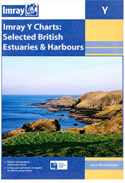
A brand new chart for 2018 covering the River Swale. This chart is a replica of Imray chart 2100.5. It is printed on water resistant paper.
Related Products:
 Y14 The Swale SUPERCEDED
 Y7 Thames Estuary South
 Y31 Christchurch to the Solent
 Y31 Christchurch to the Solent SUPERCEDED
 Y36 Central Solent
 Y36 Central Solent SUPERCEDED
 Y32 Eastern Approach to the Solent
 Y36 Central Solent – Laminated Chart
 Y30 Isle of Wight
 Y32 Eastern Approach to the Solent SUPERCEDED
 Y35 Portsmouth Harbour and Approaches
 Y34 Chichester and Langstone Harbours
 Y34 Chichester and Langstone Harbours SUPERCEDED
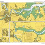 Admiralty Chart 2482 – River Medway and The Swale
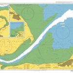 Admiralty Chart 2571 – The Swale Whitstable to Harty Ferry
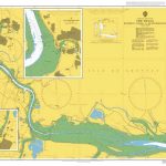 Admiralty Chart 2572 – The Swale Windmill Creek to Queenborough
 2100 Kent and Sussex Coasts Chart Atlas – 2021 edition
 Wicklow Central OSI Adventure Map
 SHOM Chart 7336L – De Kenmare River ร Cork Harbour – Leisure A4 size
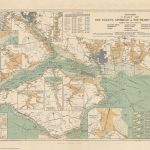 Stanford`s Chart of the Solent, Spithead and Southampton Water (1932) – A3 Wall Map, Paper – Print on Demand
 Stanford`s Chart of the Solent, Spithead and Southampton Water (1932) – A2 Wall Map, Paper – Print on Demand
 Stanford`s Chart of the Solent, Spithead and Southampton Water (1932) – A1 Wall Map, Paper – Print on Demand
 Stanford`s Chart of the Solent, Spithead and Southampton Water (1932) – Original Size Wall Map, Paper – Print on Demand
 Imray Chart C2: The River Thames
 SHOM Chart 7647L – The Solent et Southampton Water – Leisure A4 size
 Admiralty Chart 2100 – Approaches to Bintulu Port
 Wicklow South OSI Adventure Map
 Imray Chart M24: Golfo di Trieste to Losinj and Rab
 C3 Isle of Wight
 UK4 Selsey Bill to London – 2019/20 Edition
 Imray Chart: Saint Marys, Tresco and Surrounding Islands 2400.14
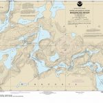 NOAA Chart 14990 – Basswood River
 SHOM Chart 7121 – Baie de Douarnenez
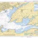 SHOM Chart 7400 – Rade de Brest
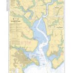 SHOM Chart 7794 – De Falmouth ร Truro
 Stanford`s Chart of the Solent, Spithead and Southampton Water (1932) – A1 Wall Map, Canvas
 Stanford`s Chart of the Solent, Spithead and Southampton Water (1932) – A2 Wall Map, Canvas
 SHOM Chart 7094 – Du Phare du Four ร l’รฎle Vierge – Port de l’AberWrac’h
 SHOM Chart 7150 – De Portsall ร l’anse de Kernic
 SHOM Chart 6607L – Polynรฉsie Sud-Est – Leisure A4 size


