Disclosure : This site contains affiliate links to products. We may receive a commission for purchases made through these links.
World Satellite Image NGS Wall Map PAPER

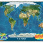
Global satellite mosaic of a cloud-free image of the Earth in its natural colours, as it would be seen from space. The map was produced for the NGS by NASA’s Jet Propulsion Laboratory using more than 500 satellite images prepared by the National Oceanic and Atmospheric Administration. One can easily identify the world’s major mountain ranges, glaciers, deserts, or rain forests. The colouring of the oceans shows various depths, with numerous trenches, ridges and fractures clearly visible.Polar Regions are included, shown as insets, whilst two smaller maps of the world provide information on the biosphere and surface temperature.* This title is also available encapsulated.

Related Products:
 World Satellite Image NGS Wall Map ENCAPSULATED
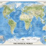
 World NGS Physical / Ocean Floor Wall Map LARGE PAPER
 World NGS Physical Wall Map POSTER-SIZE PAPER
 World Global Mapping Antique Political Wall Map LARGE PAPER
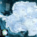 Antarctica NGS Satellite Image Wall Map ENCAPSULATED
 World NGS Physical / Ocean Floor Wall Map ENCAPSULATED
 World NGS Physical / Ocean Floor Wall Map LARGE ENCAPSULATED
 Environmental World Global Mapping Wall Map PAPER
 World Maps International Physical Wall Map LARGE PAPER
 World Maps International Physical Wall Map X-LARGE PAPER
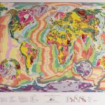
 World Geological Wall Map LARGE, PAPER
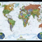 World NGS Decorator Wall Map PAPER
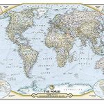 The World – The National Geographic 125th Anniversary Wall Map PAPER
 World NGS Decorator Wall Map LARGE PAPER
 World F&B Physical – Sea Relief Wall Map
 World Future Mapping Geological Wall Map – Copper – Lemon – Pink – Jade – Tangerine PAPER
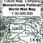 Future Mapping Company Monochrome Political World Wall Map PAPER
 World Maps International Political Wall Map SMALL PAPER
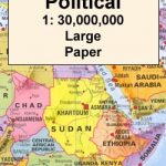
 World Global Mapping Political Wall Map LARGE PAPER
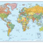
 World Maps International Political Wall Map LARGE PAPER
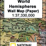 World Hemispheres NGS Wall Map PAPER
 World Maps International Political Wall Map MEDIUM PAPER
 World Michelin Wall Map PAPER
 World Maps International Political Wall Map X-LARGE PAPER
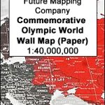 Future Map Company Commemorative Olympic World Wall Map PAPER
 World Maps International Executive Political Wall Map
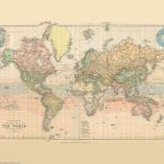
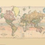 Stanford`s Library Map of the World (1879) – A3 Wall Map, Paper
 South America Global Mapping Political Wall Map PAPER
 World Rand McNally Signature Wall Map PAPER
 World Rand McNally Classic Wall Map PAPER
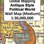
 World Global Mapping Political Wall Map MEDIUM PAPER
 Stanford`s Library Map of the World (1879) – Original Size Wall Map, Paper
Stanford`s Library Map of the World (1879) – A2 Wall Map, Paper – Print on Demand
Stanford`s Library Map of the World (1879) – A1 Wall Map, Paper – Print on Demand
Stanford`s Library Map of the World (1879) – Original Size Wall Map, Paper
Stanford`s Library Map of the World (1879) – A2 Wall Map, Paper – Print on Demand
Stanford`s Library Map of the World (1879) – A1 Wall Map, Paper – Print on Demand
 World: Global Mapping Antique Style Political Wall Maps
 World NGS Explorer Wall Map PAPER
 World NGS Executive Wall Map PAPER
 World: Freytag & Berndt Political/Physical World Wall Maps
 World NGS Executive Wall Map LARGE PAPER
 Asia NGS Executive Wall Map PAPER