Disclosure : This site contains affiliate links to products. We may receive a commission for purchases made through these links.
World Political

Related Products:
 Political World Globe 15cm: Swivel and Tilt World Political Globe
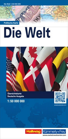
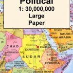
 World K+F Political 30M Map
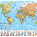
 World Political F&B
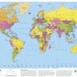
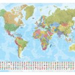
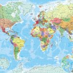
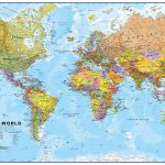
 Political World Map
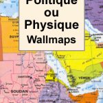
 World: Freytag & Berndt Political/Physical World Wall Maps
 World Down Under Political – Physical Map UBD Gregory`s
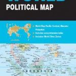
 World Global Mapping Political Map A3
 World K+F Political 30M Wall Map LAMINATED
 World F&B Political Wall Map MEDIUM
 World F&B Political Wall Map LARGE
 World Collins Political Wall Map LAMINATED
 World Schofield & Sims Political Wall Map
 World UBD Gregory`s Political Pacific-Centered Map 160
 ITM Antique Style Political World Wall Map
 World Hema Political Pacific-Centred
 World Political – Sea Relief F&B Wall Map LAMINATED
 World F&B Political – Sea Relief Wall Map XXL LAMINATED
 World Marco Polo Political Wall Map
NGS Executive Political World Wall Map FRAMED
World Marco Polo Political Wall Map
NGS Executive Political World Wall Map FRAMED
 World K+F Political 30M Wall Map MEDIUM PIN-BOARD
 World & Flags Hema Political Pacific-Centred
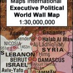 World Maps International Executive Political Wall Map
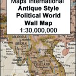 World Maps International Antique Political Wall Map
 World Political / Le Monde Politique IGN Wall Map ENCAPSULATED
 World Political / Le Monde Politique IGN Wall Map PAPER
 World Norstedts Black & White Political Wall Map
 NGS Executive Political World Wall Map ENLARGED, FRAMED
 NGS Executive Political World Wall Map 3-SHEET SET, ENCAPSULATED
 An Uncommon Atlas: 50 new views of our physical, cultural and political world
 World Maps International Political Wall Map X-LARGE PAPER
 World Maps International Political Wall Map LARGE PAPER
 World Maps International Political Wall Map MEDIUM PAPER
 World Maps International Political Wall Map X-LARGE LAMINATED
 World Maps International Political Wall Map LARGE ENCAPSULATED
 World Maps International Political Wall Map MEDIUM LAMINATED
 World Global Mapping Political Wall Map LARGE PAPER
World Global Mapping Political Wall Map LARGE ENCAPSULATED
World Global Mapping Political Wall Map MEDIUM ENCAPSULATED
World Global Mapping Political Wall Map LARGE PAPER
World Global Mapping Political Wall Map LARGE ENCAPSULATED
World Global Mapping Political Wall Map MEDIUM ENCAPSULATED
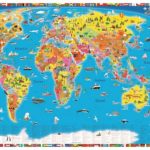 World Children`s Illustrated Political Kruger & Schonhoff Map Desk Mat
 NGS Classic Political World Wall Map ENLARGED, PIN BOARD, FRAMED