Disclosure : This site contains affiliate links to products. We may receive a commission for purchases made through these links.
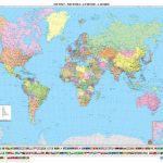
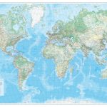
World: Freytag & Berndt Political/Physical World Wall Maps
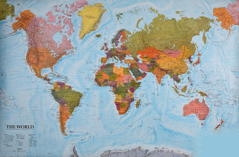
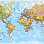
Wall maps of the world from Freytag & Berndt printed on sturdy, waterproof and tear-resistant synthetic paper which can be annotated with suitable write-on/wipe-off marker pens. Countries are in warm, earthy colours enhanced by physical shading to show mountain ranges, with oceans indicating the relief of the sea floor through different shades of light blue.Published in an international edition with all place names in their English versions, the maps are available two sizes. Please note that the extra large size has considerably more place names than shown on the small size. On land the shading indicates physical geography with names of main mountain ranges, deserts and peaks. In the oceans the variation in colouring vividly presents the sea floor with names of ridges, plateaux, basins, etc. Latitude and longitude lines are drawn at 10ยบ intervals. Map legend is in English.


