Disclosure : This site contains affiliate links to products. We may receive a commission for purchases made through these links.
World & Flags Hema Political Pacific-Centred

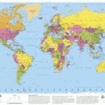
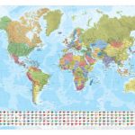
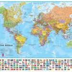
The world at 1:40,850,000 presented with Pacific Ocean in the centre on a double-sided folded map from the Australian publishers Hema; political version on one side and a physical map on the reverse. Each side shows the land masses against the background of light blue oceans with bathymetric tints to reflect the depth of the ocean floor. Polar Regions are not included apart from the coastline of Antarctica. All place names are given in their English versions. Latitude and longitude lines are drawn at 15ยฐ. Projection is Bartholomew’s modification of Gall’s stereographic.On the political side countries are in pleasant pastel colours with relief shading to show the main mountain ranges. In Australia, USA, Canada and Brazil divisions into states/provinces are marked. Clocks shows time changes at 15ยฐ of longitude with noon at the International Date Line and midnight at the Greenwich longitude.The physical map has altitude colouring with additional graphics to indicate marshlands, lava flows, sand or rocky deserts and ice caps. Political boundaries and names of countries are marked, but with fewer towns than on the political version.


