Disclosure : This site contains affiliate links to products. We may receive a commission for purchases made through these links.
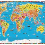
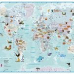
World Collins Children`s Wall Map
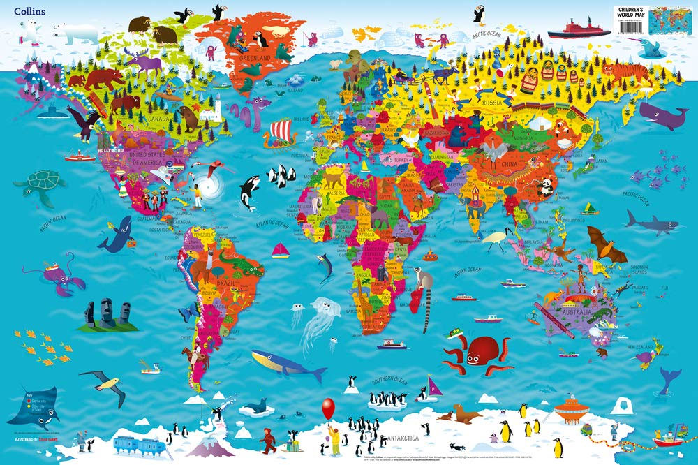
Colourful Illustrated Map of the World This bestselling, highly illustrated pictorial map is designed to take children on a journey of discovery around the countries of the world. The mapping is up-to-day, colourful and highly informative and shows countries and capital cities. Stunning illustrations are used to depict themes such as national emblems, customs, food, birds, animals, buildings and sports to help younger readers gain an understanding of peoples around the world. Dimensions 610 X 915 mm / 24 x 36 inches Illustrated by Steve Evans.

Related Products:
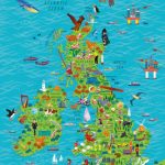 United Kingdom and Ireland Collins Children`s Wall Map
 World Children`s Illustrated Physical Kruger & Schonhoff Wall Map
 Collins Children`s Picture Atlas
 Maps of the World`s Oceans: An Illustrated Children`s Atlas to the Seas and all the Creatures and Plants that Live There
 World Children`s Illustrated Political Kruger & Schonhoff Wall Map
 Explore the World Game & Children`s World Map
 Children`s Animals of the World Wall Map PAPER
 Children`s Illustrated Animal Atlas
 Collins World Atlas: Illustrated Edition
 World Children`s Illustrated Political Kruger & Schonhoff Map Desk Mat
 Collins World Atlas Illustrated Edition
 Children`s Illustrated World Atlas
 Collins World Atlas: Know Your World
 Collins Birds of the World
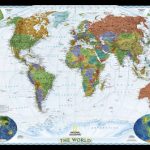
 World Collins Wall Map PAPER
 World Collins Wall Map LAMINATED
 Children`s Illustrated Atlas
 World Collins Political Wall Map LAMINATED
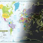 Children`s World Glow in the Dark Maps International Wall Map
 Birds of the World: My Nature Sticker Activity Book
 One Moment in Time: Children Around the World
 The Collins Garden Birdwatcher`s Bible: A Practical Guide to Identifying and Understanding Garden Birds
 Welcome to Our World: A Celebration of Children Everywhere!
 Collins World Atlas: Complete Edition
 World NGS Decorator Wall Map PAPER
 World NGS Decorator Wall Map LARGE PAPER
 World Geo Jigsaw Puzzle 68 Pieces
 National Birds of the World: Avian Emblems of the World
World Awesome Maps Snowtrip Wall Map
National Birds of the World: Avian Emblems of the World
World Awesome Maps Snowtrip Wall Map
 Collins World Atlas Reference Edition
 World NGS Explorer Wall Map PAPER
 Children`s Solar System Wall Map PAPER
 The World`s Worst Children 3
 World Awesome Maps Colouring Wall Map
 World NGS Decorator Wall Map ENCAPSULATED
 World Illustrated Sticker Wall Map
 The Bird Atlas: A Pictorial Guide to the World`s Birdlife
 World NGS Decorator Wall Map LARGE ENCAPSULATED
 World of Sports: A Book for Sports Fans All Over the Globe
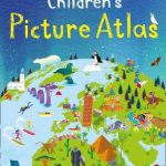
 Children`s Picture Atlas