Disclosure : This site contains affiliate links to products. We may receive a commission for purchases made through these links.
Disclosure : This site contains affiliate links to products. We may receive a commission for purchases made through these links.
Categories
-
Best Sellers
-

New Orleans PopOut
Experience New Orleans, the jazz capital of the Deep South, with the help of this genuinely pocket-sized, pop-up map. Small in size yet big on detail, Read More » -

Wexford OSI Discovery 69
Map No. 69, Wexford Central in the Discovery series from the OSI, the Ordnance Survey of Ireland, which presents the country on detailed topographic maps at Read More » -
Banat West – Banat Mountain Country
Northern Banat: Szeged – Timisoara ‘“ Arad at 1:200,000 from Hรถfer Verlag on an indexed map with present day road and rail networks but with current Read More » -

A Street Cat Named Bob: How One Man and His Cat Found Hope on the Streets
The phenomenal Number One bestseller about best friends James and Bob. Now a major motion picture. When James Bowen found an injured, ginger street cat curled Read More » -

Moleskine The Beatles – Limited Edition Notebook – Large Ruled White – Fish
This Beatles Limited Edition Moleskine Notebook, created under license from the Beatles` company Apple Corps Ltd, uses Art from the Yellow Submarine on its cover. For Read More » -

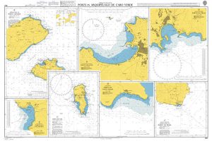
Admiralty Chart 367 – Ports in Arquipelago de Cabo Verde
Admiralty standard nautical charts comply with Safety of Life at Sea (SOLAS) regulations and are ideal for professional, commercial and recreational use. Charts within the series Read More » -

Setermoen Nordeca 10143
Map No. 10143, Setermoen, in the new topographic survey of Norway at 1:50,000 covering the country on 195 double-sided sheets and first published by Nordeca in Read More » -

Herefordshire, Worcestershire & North Gloucestershire 110K Sustrans Cycle Map No. 15
Herefordshire, Worcestershire and North Gloucestershire Cycle Map at 1:110,000 approx from Sustrans, including the Mercian Way, the Peregrine Path and part of the Six Castles Cycleway, Read More » -

Braganca
Topographic survey of Portugal at 1:50,000 from the Instituto Geogrรกfico do Exรฉrcito, the country’s military survey organisation. The maps have contours at 20m intervals and in Read More » -

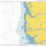
Admiralty Chart 1664 – Riviere Saloum to Ilheu do Caio
Admiralty standard nautical charts comply with Safety of Life at Sea (SOLAS) regulations and are ideal for professional, commercial and recreational use. Charts within the series Read More »
-


