Disclosure : This site contains affiliate links to products. We may receive a commission for purchases made through these links.
Wigan 1907 – 93.08b

Wigan in 1907 in a fascinating series of reproductions of old Ordnance Survey plans in the Alan Godfrey Editions, ideal for anyone interested in the history of their neighbourhood or family. Two maps have been published for this area, covering central Wigan, plus part of Ince in Makerfield. Coverage stretches from Wallgate eastward to Belle Green Lane, and from the Gidlow Mill (extreme top left corner) southward to Chapel Lane. Features include the town centre, with Market Hall, church, Mining College, Standishgate, Wallgate, Hallgate, King Street, Library Street, etc; railways, including the NW, Wallgate and Central stations, with track layouts given; part of the LNWR Springs Branch and Lancashire Union lines, including Round House Junction and part of Round House Branch; Leeds & Liverpool Canal with a flight of locks; Rose Bridge Collieries, Ince Hall Colliery (East Pit), Round House Colliery, old shafts, Clarington Forge; Kirkless Hall, Ince Hall, Peel Hall, Manchester Road, Higher Ince, tramways, Scholes, Longshoot, Central Park football ground, etc. On the reverse is a list of private residents from a 1918 directory (1907 map) and further historical material from the directory (1928 map). About the Alan Godfrey Editions of the 25″ OS Series:Selected towns in Great Britain and Ireland are covered by maps showing the extent of urban development in the last decades of the 19th and early 20th century. The plans have been taken from the Ordnance Survey mapping and reprinted at about 15 inches to one mile (1:4,340). On the reverse most maps have historical notes and many also include extracts from contemporary directories. Most maps cover about one mile (1.6kms) north/south, one and a half miles (2.4kms) across; adjoining sheets can be combined to provide wider coverage.FOR MORE INFORMATION AND A COMPLETE LIST OF ALL AVAILABLE TITLES PLEASE CLICK ON THE SERIES LINK.

Related Products:
 Wigan 1928 – 93.08c
Wigan West 1908
Wigan 1928 – 93.08c
Wigan West 1908
 Newport 1907 – 95.02
 Bootle 1907
 Heywood 1907
 Barnoldswick 1907
Horwich North 1907
Barnoldswick 1907
Horwich North 1907
 Sheffield Longley 1902
 Bollington 1907
 Lostock Junction 1907
 Upper Edmonton 1894 – 3a
Hopwood Hall and Thornham 1907
Bootle Docks & Seaforth 1907 – 99.13
Westhoughton 1907
Easington Lane and Bryn Gates 1896
Hall Green 1903
Upper Edmonton 1894 – 3a
Hopwood Hall and Thornham 1907
Bootle Docks & Seaforth 1907 – 99.13
Westhoughton 1907
Easington Lane and Bryn Gates 1896
Hall Green 1903
 Bradford East 1906
 Central Liverpool 1906 – 106.14b
Central Croydon 1895 – 14.10
Central Liverpool 1906 – 106.14b
Central Croydon 1895 – 14.10
 Epsom 1912
Paisley 1858 (Colour Edition)
Epsom 1912
Paisley 1858 (Colour Edition)
 Hayes 1907
Central Liverpool 1890 – 106.14a Colour Edition
Hayes 1907
Central Liverpool 1890 – 106.14a Colour Edition
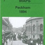 Peckham 1894 – 103.2
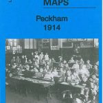 Peckham 1914 – 103.3
Peckham 1871 – 103.1
Peckham 1914 – 103.3
Peckham 1871 – 103.1
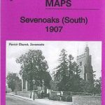 Sevenoaks South 1907
Ashton-on-Mersey 1927
Wanstead 1915 – 24.3
Sevenoaks South 1907
Ashton-on-Mersey 1927
Wanstead 1915 – 24.3
 Hazel Grove 1897
Gateacre 1904
Hazel Grove 1897
Gateacre 1904
 Sevenoaks North and Riverhead 1907
 Altrincham 1908
Burnley 1910
Lostock Hall and Farington North 1909
Altrincham 1908
Burnley 1910
Lostock Hall and Farington North 1909
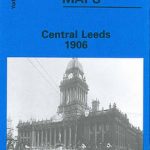 Central Leeds 1906 – 218.02b
Lifford and Bournville 1903
Central Leeds 1906 – 218.02b
Lifford and Bournville 1903
 City of York & Clifton 1907 – 174.06b
 Walton on the Hill 1906
Leeds Central and North East 1890
Walton on the Hill 1906
Leeds Central and North East 1890