Disclosure : This site contains affiliate links to products. We may receive a commission for purchases made through these links.
Whitechapel, Spitalfields & The Bank 1873 – 63.1
Whitechapel, Spitalfields and The Bank in 1873 in a fascinating series of reproductions of old Ordnance Survey plans in the Alan Godfrey Editions, ideal for anyone interested in the history of their neighbourhood or family. Three versions of this map have been published, covering much of The City and extending across Whitechapel, Bishopsgate and Spitalfields. The area covered runs from Moorgate eastward to Bedford Street, and from Worship Street and Quaker Street southward to The Tower. Features include The Bank of England, the northern part of The Tower; Broad Street, Liverpool Street, Moorgate, Fenchurch Street, Cannon Street, Bishopsgate stations; Royal Mint, Custom House, London Hospital, Aldgate; streets include Cornhill, Threadneedle Street, Finsbury Pavement, Whitechapel Street, Whitechapel Road, Commercial Road, Leman Street, etc. Many City churches and their parishes are shown, and also St George in the East and Christ Church Spitalfields.About the Alan Godfrey Editions of the 25″ OS Series:Selected towns in Great Britain and Ireland are covered by maps showing the extent of urban development in the last decades of the 19th and early 20th century. The plans have been taken from the Ordnance Survey mapping and reprinted at about 15 inches to one mile (1:4,340). On the reverse most maps have historical notes and many also include extracts from contemporary directories. Most maps cover about one mile (1.6kms) north/south, one and a half miles (2.4kms) across; adjoining sheets can be combined to provide wider coverage.FOR MORE INFORMATION AND A COMPLETE LIST OF ALL AVAILABLE TITLES PLEASE CLICK ON THE SERIES LINK.

Related Products:
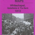 Whitechapel, Spitalfields & The Bank 1913 – 63.3
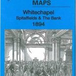 Whitechapel, Spitalfields & The Bank 1894 – 63.2
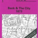 Bank & the City 1873 – 7.66
 Holborn, The City & The Strand 1873 – 62.1
 St Paul`s and Newgate 1873
 Stockport Town Centre 1873
 Finsbury Square & Circus 1873 – 7.56
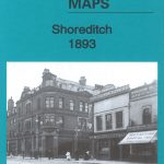 Shoreditch 1893 – 51.2
Shoreditch 1872 – 51.1
Shoreditch 1893 – 51.2
Shoreditch 1872 – 51.1
 Shoreditch 1914 – 51.3
 South Bank and Grangetown North 1927
Rothbury Forest 1866-1873
Rotherham 1922 – 289.11b
South Bank and Grangetown North 1927
Rothbury Forest 1866-1873
Rotherham 1922 – 289.11b
 Great Britain: Godfrey Editions of Historical Ordnance Survey “A Yard to the Mile” City Plans
Eston 1927
Birmingham North 1913
Great Britain: Godfrey Editions of Historical Ordnance Survey “A Yard to the Mile” City Plans
Eston 1927
Birmingham North 1913
 Manchester City Centre 1849 – M28
Liverpool Toxteth Mill Street 1847
Blackburn West 1929
Manchester City Centre 1849 – M28
Liverpool Toxteth Mill Street 1847
Blackburn West 1929
 Bethnal Green & Bow 1914 – 52.3
 Bethnal Green & Bow 1894 – 52.2
Bethnal Green & Bow 1870 – 52.1
Bethnal Green & Bow 1894 – 52.2
Bethnal Green & Bow 1870 – 52.1
 Manchester: Ancoats North 1848
 Manchester: London Road 1849
Liverpool London Road 1864
Enfield (South) 1895 – 7.07a
Manchester: London Road 1849
Liverpool London Road 1864
Enfield (South) 1895 – 7.07a
 Bermondsey & Wapping 1894 – 77.2
 Bermondsey & Wapping 1872 – 77.1
 Woolton 1904
Bedford 1924 – 11.16b
Jarrow 1912
Luton 1922 – 33.05
Woolton 1904
Bedford 1924 – 11.16b
Jarrow 1912
Luton 1922 – 33.05
 Bermondsey & Wapping 1914 – 77.3
Arthur`s Hill and Fenham 1913
Maldon West 1920 – 55.16
Southport (North) 1909 – 75.06b
Blackpool North Pier & Town Centre 1910
Bermondsey & Wapping 1914 – 77.3
Arthur`s Hill and Fenham 1913
Maldon West 1920 – 55.16
Southport (North) 1909 – 75.06b
Blackpool North Pier & Town Centre 1910
 Liverpool Shaw Street 1848
 Darlington (South) 1898 – 55.10a
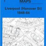 Liverpool Hanover Street 1864