Disclosure : This site contains affiliate links to products. We may receive a commission for purchases made through these links.
Western Europe Railroad & Road ITMB
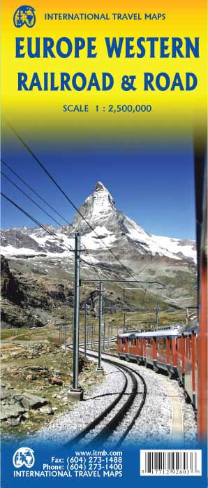
Europe’s railway and road networks on a double-sided map from ITMB at 1:3,350,000, with coverage extending east beyond Moscow to Kazan’ and Volgograd, plus coverage of most of Turkey. Northern Scandinavia, including most of Finland, is shown as an inset at 1:8,000,000.Although the map aims to show the railways distinguishing between high speed lines and the rest of the network, in areas with high density of motorway routes such as Belgium, the Netherlands or the Ruhr, railway lines are very difficult to see. Selected ferry routes are also marked. The map has political colouring to show different countries and is indexed.

Related Products:
 Europe Railway & Road ITMB
 Europe K+F Railways Map
 Europe F&B Compact Road Atlas
 Europe Travellers` Railway Map
 Big Trails: Heart of Europe: The best long-distance trails in Western Europe and the Alps
Europe Eastern ITMB Railway & Road
Big Trails: Heart of Europe: The best long-distance trails in Western Europe and the Alps
Europe Eastern ITMB Railway & Road
 Europe Railways + Ferries F&B Wall Map
Netherlands Falkplan Professional Road Map
Europe High 5 Edition Road Atlas
Europe Railways + Ferries F&B Wall Map
Netherlands Falkplan Professional Road Map
Europe High 5 Edition Road Atlas
 Europe Railways + Ferries F&B
 Netherlands & Belgium ITMB
Belgium NGI Road Map
Netherlands & Belgium ITMB
Belgium NGI Road Map
 Benelux – North France Michelin Road Atlas SPIRAL-BOUND
 Central Europe F&B Compact Road Atlas
 France K+F Road Map
 Trans-Siberian ITMB Railroad Atlas
 Europe Western F&B
 Japan West & Central Railway & Road ITMB
 Railway City Map Europe
 USA Western Railroads/Highways ITMB
 Central Europe F&B Road Atlas
 Belgium – Netherlands – Luxembourg Marco Polo Road Atlas
 Rails Across Europe: Northern and Western Europe
Sweden ITMB Railway & Road Map
Rails Across Europe: Northern and Western Europe
Sweden ITMB Railway & Road Map
 Benelux Michelin
 Europe: Stanfords Tourist/Railways Map of Europe 1928 SMALL
 Japan Railway & Road ITMB Travel Atlas
 Western Europe AA Road Map
 Turkey – Europe Road Map
 Europe Collins Handy Road Atlas
 France: Michelin 500K Road Maps
 Japan South ITMB Railway & Road Map
 The Ultimate Netherlands, Belgium & Luxembourg Cycle Route Planner
 Africa Western ITMB
 Rail Atlas Europe
 Belgium and Neighbouring Regions: Sportoena 50K Cycling Maps
 Western & Northern Canada ITMB Travel Atlas
 Baltic States ITMB
 Osaka & Western Japan ITMB
 Bradshaw`s Railway Map Central Europe 1913