Disclosure : This site contains affiliate links to products. We may receive a commission for purchases made through these links.
Western Cape Map Studio
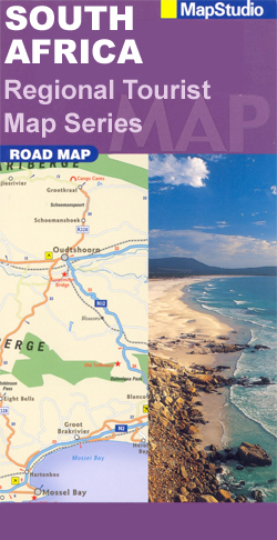
Road map of the Western Cape Province at 1:500,000 with an enlargement for the Cape Peninsula and 27 street plans of the central areas in main towns. The map is annotated numerous places of interest, vineyards, etc and GPS coordinates are marked on important road junctions. The map is double-sided, dividing the province east/west, and shows its road and rail networks. Unsurfaced minor roads and selected 4WD tracks are included and GPS coordinates are provided for over 150 road junctions. Railways are shown with stations. Numerous places of interest are highlighted, including wineries, historical sites, nature reserves, bird watching sites, etc. Topography is indicated by mountain passes marked along the roads and occasional spot heights. Nature reserves and other protected areas are prominently marked. The map is indexed and, in addition to the GPS coordinates shown on it, has latitude and longitude margin ticks at intervals of 1ยฐ.Street plans annotated with places of interest show central areas in 27 main towns of the region: Cape Town, Barrydale, Beaufort West, Bredasdorp, Ceres, Clanwilliam, Franschhoek, George, Greyton, Hermanus, Knysna, Ladismith, Lambert’s Bay, Langebaan, Malmesbury, Montagu, Mossell Bay, Oudtshoorn, Paarl, Plettenberg Bay, Robertson, Stellenbosch, Swellendam, Tulbagh, Vanrhynsdorp, Wellington and Worcester. An enlargement shows the Cape Peninsula in greater detail. Also provided is a distance table.

Related Products:
 Cape Town – Western Cape Towns Map Studio Street Atlas
 Western Cape Map Studio Pocket Map
 Cape Town Map Studio Pocket Map
 Cape Town & Surrounding Attractions Map Studio
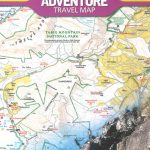
 Namibia Map Studio Adventure Map
 Africa Cape to Cairo Map Studio
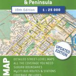 Cape Town & Peninsula Map Studio
 South Africa Map Studio Road Atlas A4 PAPERBACK
 Cape Town & Peninsula NGS Adventure Map 3200
 Cape Peninsula
 Cape West Coast – Cederberg & Tankwa Karoo InfoMap
 Day Drives from Cape Town
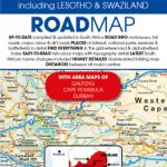 South Africa – Lesotho & Swaziland Map Studio
 Cape Region – South Africa Reise Know-How
 Garden Route & Route 62 Map Studio
 Winelands of the Western Cape Map Studio
 100km around Cape Town
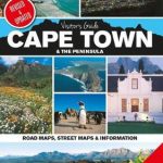 Cape Town & the Peninsula Map Studio Visitors Guide
 Far North: Cape Reinga, Kaitaia, Kerikeri, Whangarei
 East Cape: Whakatane, Opotiki, Gisbourne, Wairoa
 Cape Point – Simon`s Town – Fish Hoek
 Zimbabwe Map Studio Adventure Map
 Winelands of the Western Cape Map Studio SUPERCEDED
 Israel 100 Recommended Sites Road Map
 Malawi Map Studio Adventure Map
 Africa Map Studio Road Atlas
 Cape Town F&B
 Cape Town Borch
 Limpopo & North West Map Studio Pocket Map
 Mid West Western Australia Hema
 Cape Verde & West Africa ITMB
 Cape York – Old Telegraph Track Hema
 Botswana Map Studio Adventure Map
 Kaokoland – North Western Namibia InfoMap
 Germany North F&B
 Johannesburg Map Studio Pocket Map
 Venezuela F&B
 France North F&B
 Greece 700K F&B
 Germany South F&B