Disclosure : This site contains affiliate links to products. We may receive a commission for purchases made through these links.
Western Australia Hema
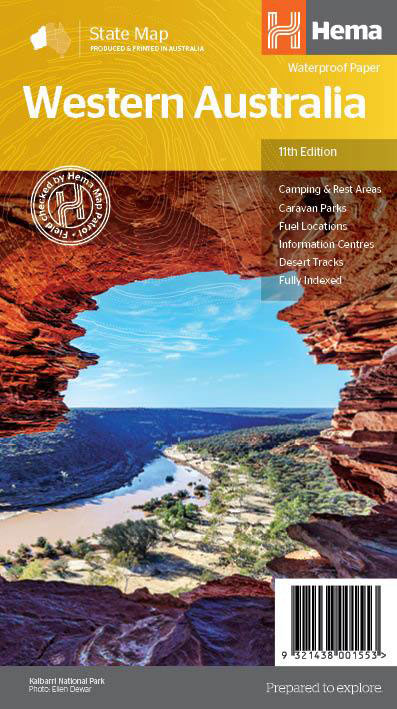
Western Australia at 1:2,500,000 on an indexed road map from Hema with prominent highlighting of its protected areas. On the reverse is a street plan of central Perth, a throughroad map of the suburbs of Perth and Frementle, seven enlargements of popular regions, plus a table of facilities in the national parks and a list of information centres.On one side is a state road map with prominent highlighting for national parks and other protected areas, as well as Aboriginal Lands. Road classification indicates sealed and unsealed roads and includes rough 4WD tracks. Highways are shown with their names and numbers. Driving distances are marked on main and many local routes. The map also shows locations of 24-hrs fuel stations and of diesel, unleaded, and Opal stations. Other symbols indicate different types of rest areas, caravanning and camping sites, visitor information offices, and various points of interest. Latitude and longitude lines are drawn at 2ยฐ intervals. The index is next to the map, together with a distance table.On the reverse, a detailed CBD street plan of Perth highlights 35 various facilities and sights, 36 selected accommodation choices, and 10 travel information centres. A throughroads map shows the suburbs of Perth and Fremantle. Panels present more detailed road maps annotated with GPS waypoints and covering seven of the state’s popular areas including the coast between Augusta and Busselton, Cape Range NP, Purnululu NP, Walpole-Nornalup NP, etc. Also provided is a table showing facilities available in the national parks plus a list of local information centres.To see the list of Hema’s maps of other states of Australia please click on the series link.

Related Products:
 South West Western Australia Hema
 Mid West Western Australia Hema
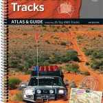
 Western Australia Hema Road & 4WD Track Atlas A4 SPIRAL-BOUND
 South Australia Hema
 Australia: Hema State Road Maps
 Australia Hema Motorcycle Atlas Set – 200 Top Rides SPIRAL-BOUND
 Australia Hema Road & 4WD Atlas PAPERBACK
 New South Wales Hema
 Australia Hema Road & 4WD Touring Atlas A4 SPIRAL-BOUND
 Australia Hema Handy Atlas SPIRAL-BOUND
 Australia – State Capitals Street & Suburbs Hema
 Australia Hema Road & 4WD Atlas SPIRAL-BOUND
 Australia Hema Road & 4WD Easy Read Atlas SPIRAL-BOUND
 Australia: Hema City to City Road Maps
 Perth and Region Hema
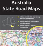
 Victoria Hema
 Australia: Hema Regional Road Maps
 Australia Hema Road & Terrain Map
 Hardie Grant Western Australia State 711 x 941 mm
 Australia: Hema Maps of Main Cities and Surrounding Regions
 Northern Territory Hema
Tasmania Hema
Northern Territory Hema
Tasmania Hema
 Australia UBD Gregory`s Road Atlas A4 SPIRAL-BOUND
 Melbourne to Sydney Hema
 Australia Great Desert Tracks Hema Atlas & Guide A4 SPIRAL-BOUND
 Outback Queensland Hema
 Australia UBD Gregory`s Concise Motoring Atlas
 Outback New South Wales – from Broken Hill to Tamworth Hema Explorer Map
 Central Australia Hema 4WD Explorer Map
 Central Queensland Hema
 South Australia State & Suburban UBD Gregory`s 570
 Australia: Hema Great Desert Tracks Road Maps
Outback Queensland – Camooweal to Stanthorpe Hema Explorer Map
Australia: Hema Great Desert Tracks Road Maps
Outback Queensland – Camooweal to Stanthorpe Hema Explorer Map
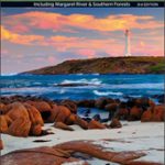 South West Corner – Margaret River & Southern Forest Hema
 Central Queensland – Hervey Bay to Mackay Hema
 Great Desert Tracks – Western Sheet Hema
 Australia UBD Gregory`s Touring Atlas A3
 Australia: UBD Gregory`s State Road Maps
 South Australia State & Cities UBD Gregory`s 519
 Savannah Way – Cairns to Broome Hema Touring Map