Disclosure : This site contains affiliate links to products. We may receive a commission for purchases made through these links.
West Drayton South 1935
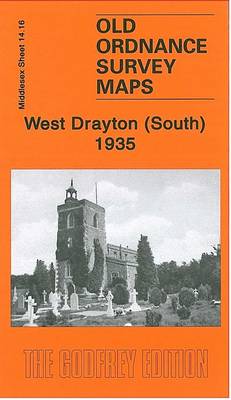
West Drayton South in 1935 in a fascinating series of reproductions of old Ordnance Survey plans in the Alan Godfrey Editions, ideal for anyone interested in the history of their neighbourhood or family. The map covers much of the village of West Drayton, which is in the north-western corner. Features include St Martin`s church, Drayton Hall, Rooks Farm. Coverage then extends east to Stockley Brick Works and Pinkwell, and south to Cherry Lane and Harmondsworth Road. Much of the map is rural with orchards and fields. About the Alan Godfrey Editions of the 25″ OS Series:Selected towns in Great Britain and Ireland are covered by maps showing the extent of urban development in the last decades of the 19th and early 20th century. The plans have been taken from the Ordnance Survey mapping and reprinted at about 15 inches to one mile (1:4,340). On the reverse most maps have historical notes and many also include extracts from contemporary directories. Most maps cover about one mile (1.6kms) north/south, one and a half miles (2.4kms) across; adjoining sheets can be combined to provide wider coverage.FOR MORE INFORMATION AND A COMPLETE LIST OF ALL AVAILABLE TITLES PLEASE CLICK ON THE SERIES LINK.

Related Products:
 Colwyn Bay South West 1911
 Sale South-West 1908
Tannochside & North Uddingston 1935 – 11.03
Sale South-West 1908
Tannochside & North Uddingston 1935 – 11.03
 South Harrow and Northolt Park 1935
 St Albans South-West 1897
 Alexandra Park and South Friern 1935
 Northolt 1935
 Sedgley South-East with Swan Village and West Coseley 1901
 South Acton & Gunnersbury Park 1935 – 71.4
 Newquay West 1933
Ashford (Middx) 1935 – 24.04
Worcester South-West 1902
Newquay West 1933
Ashford (Middx) 1935 – 24.04
Worcester South-West 1902
 Hanworth and North West Hampton 1934
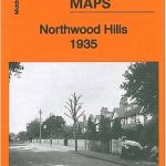 Northwood Hills 1935
 Harefield 1935
Shotts (West) 1939 – 13.06
Harefield 1935
Shotts (West) 1939 – 13.06
 Shrewsbury West 1900
 Rotherham South 1901
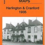 Harlington and Cranford 1935
Maldon West 1920 – 55.16
Barnsley South 1904
Gunnislake South and Albaston 1905
Carlisle South-West 1924
Harlington and Cranford 1935
Maldon West 1920 – 55.16
Barnsley South 1904
Gunnislake South and Albaston 1905
Carlisle South-West 1924
 South Norwood 1895
New Brighton 1935
Leicester South West 1902-1911
Sunderland South 1895
South Norwood 1895
New Brighton 1935
Leicester South West 1902-1911
Sunderland South 1895
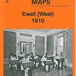 Ewell West 1910
Crook West 1895
Ewell West 1910
Crook West 1895
 Poynton West 1896
 Wealdstone and Hatch End 1935
South West Berkshire 1889
Wealdstone and Hatch End 1935
South West Berkshire 1889
 Edgware 1935
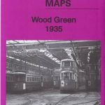 Wood Green 1935 – 7.4
 Loughton (South) 1895 – 57.16
Halifax South West and Sowerby Bridge 1892
Swindon South-West 1899
Loughton (South) 1895 – 57.16
Halifax South West and Sowerby Bridge 1892
Swindon South-West 1899
 South Croydon 1895 – 14.14
 South Croydon 1895 – 159.2
Darlington West 1898
South Croydon 1895 – 159.2
Darlington West 1898