Disclosure : This site contains affiliate links to products. We may receive a commission for purchases made through these links.
Wenatchee & Leavenworth WA Trail Map
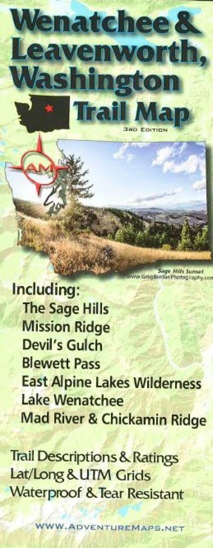
The Wenatchee & Leavenworth, WA Adventure Map is a waterproof, topographic map (lat/long,UTM grids) that includes route descriptions for the Wenatchee & Leavenworth area including, The Sage Hills, Mission Ridge, Devil`s Gulch, Blewett Pass, East Alpine Lakes Wilderness, Lake Wenatchee, Mad River and Chickamin Ridge. The map includes descriptions for 12 of the area`s best mountain bike rides, 7 popular road bike rides, 11 hikes, and 8 X/C ski routes. Fishermen, hunters and OHV riders will also find this map very useful as it accurately shows all streams, lakes, roads, OHV routes and land ownership boundaries.

Related Products:
 McCall ID Trail Map
 Mt. Hood Area Trail Map
 Steamboat Springs CO Trail Map
 Methow Valley WA Trail Map
 Sisters & Redmond High Desert Trail Map
 St. George – Hurricane & Zion NP UT Trail Map & Guide
 Sawtooth & White Cloud Mountains Trail Map
 Sun Valley ID Trail Map
 Jackson Hole Trail Map
 Three Sisters Wilderness Trail Map
 Oakridge OR Trail Map
 Lake Tahoe Basin Trail Map
 Alpine Lakes Wilderness – Mt Baker-Snoqualmie and Okanogan-Wenatchee National Forests WA
 Hood River OR Trail Map
 25 Bike Rides in the Finger Lakes
 Glacier Peak Wilderness – Mt Baker-Snoqualmie and Okanogan-Wenatchee National Forests WA
 EuroVelo 6 – Danube Bike Trail – Basel to Budapest Cycle Trail 7-Map Set
 Bend OR Trail Map
 Moon Drive & Hike Appalachian Trail (First Edition): The Best Trail Towns, Day Hikes, and Road Trips In Between
 The Great British Road Rides Guide: The Best of the UK in 55 Bike Routes
 Epic Bike Rides of Europe
 Kananaskis Lakes Gem Trek
 The Peak District Sustrans Cycle Map 26 – Trans Pennine Trail – Tissington Trail – High Peak Trail
 Traffic-Free Cycle Trails: The essential guide to over 400 traffic-free cycling trails around Great Britain
 20 Classic Sportive Rides – South East England
 Canmore and Kananaskis Village Gem Trek
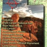 Bryce Canyon & Brian Head UT Trail Map
 50 Hikes in the Upper Hudson Valley
 Lost Lanes: 36 Glorious Bike Rides in Southern England
 Salt Lake City – Park City and the Wasatch Trail Map
 Danube Bike Trail
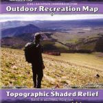 Yellowstone National Park Outdoor Recreation Map
 Scotland Mountain Biking – the Wild Trails
 Mountain Bike Guide: The Lake District, the Howgills & the Yorkshire Dales
 Great British Bike Rides
 London WheretoRide
 Explorer`s Guide 50 Hikes on and Around the North Country Trail: Michigan & Wisconsin
 20 Classic Sportive Rides South West England
 North York Moors Mountain Biking – Moorland Trails
 Waterton Lakes National Park Gem Trek Map