Disclosure : This site contains affiliate links to products. We may receive a commission for purchases made through these links.
Weinviertel Cycling Freytag & Berndt Map
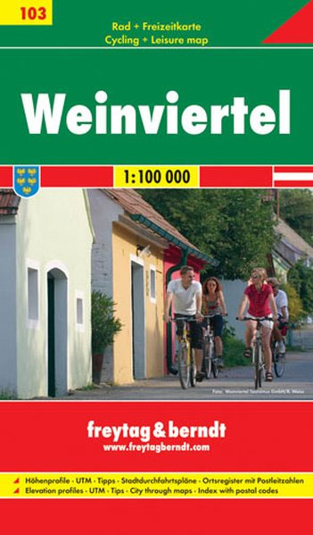
Weinviertel region of eastern Austria on a detailed road map at 1:100,000 from Freytag & Berndt with numerous cycling routes, indicating unpaved paths, routes with heavy motorized traffic and gradient marking. Symbols mark various types of accommodation, including campsites and youth hostels, bike retail and repair facilities, viewpoints, places of interest, etc. Topography is shown by relief shading and spot heights. The map has a 10km UTM grid. On the reverse is an index of localities with their UTM coordinates, plus street plans of main towns and profiles of selected routes. Map legend and all the text include English.To see the list of titles in this series please click on the series link.


