Disclosure : This site contains affiliate links to products. We may receive a commission for purchases made through these links.
Washington Land
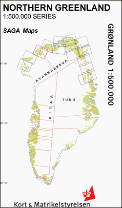
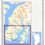
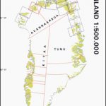
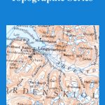
Washington Land area in a series covering the northern coast of Greenland at 1:500,000, originally produced by the Danish survey organization Kort & Martikelstyrelsen in April 2000 and now printed by Saga Maps. The maps have contours at 100m intervals with spot heights and indicate areas covered by icecap. Local settlements, research stations, airstrips and boundaries of protected areas are marked. The maps have a latitude grid at intervals of 15’ and longitude at 1ยบ. Map legend is in Danish only.

Related Products:
 Nansen Land
Inglefield Land
Nyboe Land
Quaanaaq/Thule
Frederic E. Hyde Fjord
Greenland: Saga 500K Maps of Northern Greenland
Nansen Land
Inglefield Land
Nyboe Land
Quaanaaq/Thule
Frederic E. Hyde Fjord
Greenland: Saga 500K Maps of Northern Greenland
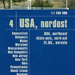 USA North-Eastern: Maine to WashingtoN DC (CT, DE, ME, MD, MA, NH, NJ, NY, OH, PA, RI, VT, WV) Reise-Know-How Map
 Washington State Recreational Atlas & Gazetteer
 Washington Easy to Fold Rand McNally
 Olympic Peninsula and Washington Coast, WA
 Washington State Easy-to-Read Rand McNally
 Washington State Benchmark Recreation Map
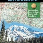 Washington State Road & Recreation Atlas
 Washington D.C. Rand McNally
 Pacific Northwest – Washington – Oregon Michelin Zoom 171
 Washington DC & Eastern Corridor (Boston to DC) ITMB
 Greenland
 Mt Jefferson – Mt Washington Wilderness OR NGS Trails Illustrated Map 819
 Northwest Territories ITMB
 NOAA Chart 18447 – Lake Washington Ship Canal and Lake Washington – Lake Washington Ship Canal – Lake Washington
 Lexington – Blue Ridge Mts – George Washington and Jefferson NF VA
 George Washington and Jefferson National Forests – Staunton – Shenendoah Valley VA
 Covington – Alleghany Highlands – George Washington and Jefferson National Forests VA/WV 788
 Nordaustlandet
 USA Northwest – OR, WA Reise Know-How
 George Washington and Jefferson National Forest – Massanutten – Great Northern Mountains VA/WV
Edgeรธya
George Washington and Jefferson National Forest – Massanutten – Great Northern Mountains VA/WV
Edgeรธya
 Washington 1896
Spitsbergen South
Spitsbergen North
Washington 1896
Spitsbergen South
Spitsbergen North
 NOAA Chart 17370 – Bay of Pillars’”Rowan Bay and Washington Bays – Washington Bay
 Washington DC F&B
 Not for Tourists Guide to Washington DC: 2017
 Nordenskiรถld Land
 Blacksburg – New River Valley – George Washington and Jefferson National Forest VA/VW 787
 Alto Sil
 NG Walking Washington DC
 Tariquejos CNIG Topographic Map 981-III
El Rompido CNIG Topographic Map 999-III
Cabra CNIG Topographic Map 989-I
Tariquejos CNIG Topographic Map 981-III
El Rompido CNIG Topographic Map 999-III
Cabra CNIG Topographic Map 989-I