Disclosure : This site contains affiliate links to products. We may receive a commission for purchases made through these links.
Washington DC Red Maps
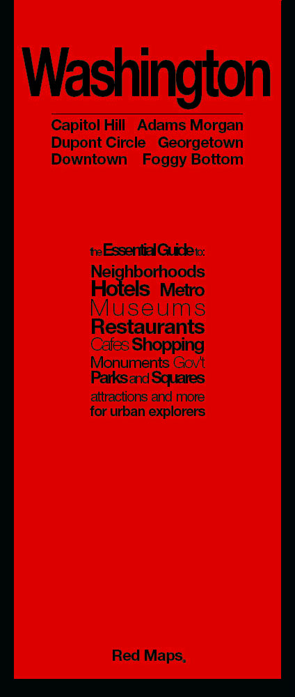
Washington DC on a tourist street plan from Red Maps presented in a handy concertina format and printed on thick high quality paper, with thematic indexes for hotels, restaurants, shopping, museums, theatres, etc. The plan provides coverage of the central districts of the city extending from the Arlington Cemetery and the Georgetown University Campus in the west to Capitol Hill. On the reverse an enlargement shows the Downtown/Penn Quarter in greater detail. Also provided is a small road map of the city’s environs.The plan names tourist sights, important government buildings, entertainment venues, selected hotels and restaurants, etc. Also highlighted are main shopping streets. Washington’s metro stations and connections are very clearly indicated.The plan is accompanied by several lists and recommendations: hotels, restaurants and shops arranged by district, government buildings, landmarks and monuments, etc. The index lists only a selection of neighbourhoods and streets.To see other street plans from Red Maps with similar presentation please click on the series link.

Related Products:
 Los Angeles Red Maps
 Barcelona Red Maps
 New York City Red Maps
 Chicago Red Maps
 Paris Red Maps
 Miami – South Beach Red Maps
 New York City – Brooklyn – Long Island City Red Maps
 Washington DC Borch
 San Francisco Red Maps
 Philadelphia Red Maps
 Dublin Red Maps
 Boston Red Maps
 Milan Red Maps
 Berlin – Potsdam Red Maps
 Madrid and Seville Red Maps
 Florence Red Maps
 Vienna Red Maps
 Rome Red Maps
 London Red Maps
 Hollywood CA Global Graphics detailed Street Map
 Venice Red Maps
 Stockholm Borch
 Amsterdam Red Maps
 Red Maps Street Plans
 St. Petersburg Jana Seta Street Plan
 Washington DC & Eastern Corridor (Boston to DC) ITMB
 Montreal Flexi Map OUT OF PRINT
 New York City – SoHo – NoLita – Little Italy Red Maps
 Washington D.C. Rand McNally
 New York City – Midtown Red Maps
 Brisbane UBD Gregory`s City Pocket 460
 Barcelona “Maps to Go” Street Plan
 St Petersburg Marco Polo City Map
Singapore Borch
St Petersburg Marco Polo City Map
Singapore Borch
 Australia: UBD Gregory`s Street Maps and Directories
 Moscow ITMB
 Tunis
Tunis
 Moscow Jana Seta Street Plan
 Athens Borch
 Brussels Borch