Disclosure : This site contains affiliate links to products. We may receive a commission for purchases made through these links.
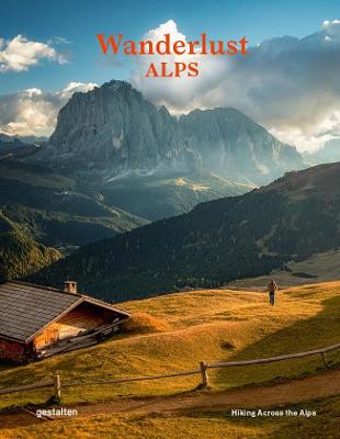
Wanderlust Alps: Hiking Across the Alps

Related Products:
 The Hidden Tracks: Wanderlust – Hiking Adventures Off the Beaten Path
 Hiking and Trekking in the Japan Alps and Mount Fuji: Northern, Central and Southern Alps
 Alpe-Adria Trail: From the Alps to the Adriatic: Hiking Through Austria, Slovenia and Italy
 Julian Alps Kartografija WATERPROOF Hiking Map
 Kamnik and Savinja Alps Kartografija WATERPROOF Hiking Map
 Julian Alps – Steiner Alps – Kamnik Alps Kompass 2801
 Wanderlust USA: The Great American Hike
 Wanderlust: A Traveler`s Guide to the Globe (First Edition)
 Alps Mountain Biking: From Aosta to Zermatt: the Best Singletrack, Enduro and Downhill Trails in the Alps
 Wanderlust Road Trips (First Edition): 40 Beautiful Drives Around the World
 Wanderlust in Berlin: An Insider`s Guide to the Best Places to Eat, Drink and Explore
 Gailtal Alps – Carnic Alps – Oberdrautal Kompass 60
 Lechtal Alps – Allgau Alps F&B WK351
Zillertal Alps – Tux Alps Kompass 37
Lechtal Alps – Allgau Alps F&B WK351
Zillertal Alps – Tux Alps Kompass 37
 Wanderlust: A History of Walking
 Wanderlust Adventure Glasses Case
 Black Girls Take World: The Travel Bible for Black Women with Boundless Wanderlust
 Wanderlust – How to Travel Solo: Holiday tips for independent adventurers
 Book of Human Emotions: An Encyclopaedia of Feeling from Anger to Wanderlust
 The Little Book of Wanderlust: Travel Quips & Quotes for Life`s Big Adventures
 Mad Travelers: A Tale of Wanderlust, Greed and the Quest to Reach the Ends of the Earth
 The Wanderlust World Travel Quiz Book: Thousands of Trivia Questions to Test Globe-Trotters
 Winter In The Alps
 Hiking Alaska: A Guide to Alaska`s Greatest Hiking Adventures
 The Alps – A Cultural History
 Rough Stuff Cycling in the Alps
Ski Resort Map of the Alps Wall Map PAPER
Ski Resort Map of the Alps Wall Map ENCAPSULATED
Rough Stuff Cycling in the Alps
Ski Resort Map of the Alps Wall Map PAPER
Ski Resort Map of the Alps Wall Map ENCAPSULATED
 French Alps Michelin Green Guide
 DK Eyewitness Travel Guide Munich & the Bavarian Alps
 Eastern Provence: Cรดte d’Azur to the Alps Sunflower Landscape Guide
 Italy: Friuli Venezia Giulia: Including Trieste, Udine, the Julian Alps and Carnia
 Trekking the Giants` Trail: Alta Via 1 Through the Italian Pennine Alps: Beneath Mont Blanc, the Matterhorn and Monte Rosa
 Hiking Southern Nevada
 Hiking and Tramping in New Zealand
 Hiking the High Sierra
 Hiking the Southwest – Nevada, Arizona, Utah and New Mexico
 The Alps F&B
 The Alps
 Swiss Alps