Disclosure : This site contains affiliate links to products. We may receive a commission for purchases made through these links.
Walthamstow (East) 1914 – 15.3
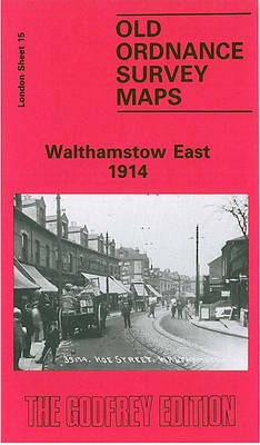
Walthamstow East in 1914 in a fascinating series of reproductions of old Ordnance Survey plans in the Alan Godfrey Editions, ideal for anyone interested in the history of their neighbourhood or family. Three versions have been published for this area, with the 1894 map partly colour printed. Coverage extends from Hoe Street eastward to the Forest School, and from Water House and Forst Road southward to Barclay Road and Whipps Cross. Features include railway with Hoe Street and Wood Street stations, tramways, St Peter`s church, Shern Hall, fringes of Epping Forest, Forest School, The Winns or Water House, St Mary`s church, Moneux Almshouses, Walthamstow House, Rising Sun pub, Hagger Farm, St John`s Industrial School, Vestry House, etc. On the reverse of the 1894 version is a 1855 directory of Walthamstow; the 1939 maps has extracts from a 1922 directory.About the Alan Godfrey Editions of the 25″ OS Series:Selected towns in Great Britain and Ireland are covered by maps showing the extent of urban development in the last decades of the 19th and early 20th century. The plans have been taken from the Ordnance Survey mapping and reprinted at about 15 inches to one mile (1:4,340). On the reverse most maps have historical notes and many also include extracts from contemporary directories. Most maps cover about one mile (1.6kms) north/south, one and a half miles (2.4kms) across; adjoining sheets can be combined to provide wider coverage.FOR MORE INFORMATION AND A COMPLETE LIST OF ALL AVAILABLE TITLES PLEASE CLICK ON THE SERIES LINK.

Related Products:
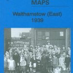 Walthamstow (East) 1939 – 15.4
 Walthamstow West 1913
 Walthamstow West 1936 – 14.3
 Walthamstow Marshes 1913 – 22.3
West Hartlepool 1914 – 37.11c
Walthamstow Marshes 1913 – 22.3
West Hartlepool 1914 – 37.11c
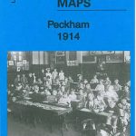 Peckham 1914 – 103.3
 East Dulwich & Peckham Rye 1914 – 117.3
Cirencester East 1920
Bangor East 1901
East Dulwich & Peckham Rye 1914 – 117.3
Cirencester East 1920
Bangor East 1901
 Croydon East: Coombe Park & Addiscombe Road 1895 – 158
The West End 1914 – 61.3
Colwyn Bay South East 1911
Jesmond 1914
Llantwit Major 1914
East Jarrow 1913
Streatham Hill & Tulse Hill 1914 – 126.3
Croydon East: Coombe Park & Addiscombe Road 1895 – 158
The West End 1914 – 61.3
Colwyn Bay South East 1911
Jesmond 1914
Llantwit Major 1914
East Jarrow 1913
Streatham Hill & Tulse Hill 1914 – 126.3
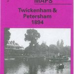 Twickenham & Petersham 1894 – 122
 Blackheath 1914 – 105.3
 Clapham Common 1914 – 115.3
 Brixton & Herne Hill 1894 – 116.2
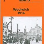 Woolwich 1914
Newcastle & Gateshead 1914 – 18b
Woolwich 1914
Newcastle & Gateshead 1914 – 18b
 East Acton & Wormwood Scrubs 1894 – 58.2
Trimdon Grange 1914
East Acton & Wormwood Scrubs 1894 – 58.2
Trimdon Grange 1914
 Canning Town & Custom House 1914 – 66.3
 East Finchley 1894 – 10.2
 Bromley Common and North-East Hayes 1895
 Bethnal Green & Bow 1914 – 52.3
 Croydon 1895 – 157
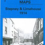 Stepney & Limehouse 1914 – 64.3
Stourbridge South and Oldswinford 1914
Stepney & Limehouse 1914 – 64.3
Stourbridge South and Oldswinford 1914
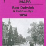 East Dulwich & Peckham Rye 1894 – 117.2
 Handsworth 1913
 Putney Bridge 1894 – 99.2
Durham City East 1894
Putney Bridge 1894 – 99.2
Durham City East 1894
 Shortlands 1894
Belfast (East) 1902 – 4.11
East Finchley & Hampstead Garden Suburb 1894-1911 – 10.3
Shortlands 1894
Belfast (East) 1902 – 4.11
East Finchley & Hampstead Garden Suburb 1894-1911 – 10.3
 Lewisham 1914 – 119.3
North Shields and Chirton 1894
Lewisham 1914 – 119.3
North Shields and Chirton 1894