Disclosure : This site contains affiliate links to products. We may receive a commission for purchases made through these links.
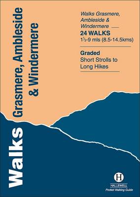
Walks Grasmere, Ambleside and Windermere

Related Products:
 Ambleside & South Lakeland: Short Scenic Walks
 Walks around Windermere & Kendal – Newby Bridge – Staveley & Grange-over-Sands
 Penrith & Keswick – Ambleside OS Landranger 90
 Penrith & Keswick – Ambleside ACTIVE
 Grasmere & Rydal Dinky Map
 Kendal & Morecambe – Windermere & Lancaster OS Landranger 97
 Kendal – Morecambe – Windermere & Lancaster ACTIVE
 The Dales Way Pocket Map-Guidermere – Ilkley to Bowness-on-Windermere
 Walks to Viewpoints (Top 10 Walks): Walks to the most stunning views in the Peak District
 Ambleside S&D
 The English Lakes – South-Eastern Area – Windermere, Kendal & Silverdale OS Explorer OL7
 The English Lakes – South-Eastern Area – Windermere, Kendal & Silverdale OS Explorer OL7 ACTIVE
 Lake District East – Helvellyn – Ullswater & Grasmere Harvey Superwalker XT25
 Coniston & Ambleside 1895 – 38
 Walking the Dales Way: Ilkley to Bowness-on-Windermere through the Yorkshire Dales
 Walks around Breadalbane – Killin with Crianlarich and Tyndrum – 8 Easy to Follow Walks
 Walks for All Ages in North East Wales: 20 Short Walks for All the Family
 Easy Walks: New, Short Circular Walks Along Cheshire`s Sandstone Trail
 Fell Walks: The Finest High-Level Walks in the Yorkshire Dales
 Ridge Walks: The Finest High-Level Walks in the Lake District
 Lochside Walks: The Finest Waterside Walks in Loch Lomond & the Trossachs
 Walks with History: Walks through the fascinating historic landscapes of the Yorkshire Dales
 Tea Shop Walks: Walks to the finest tea shops and cafes in the Peak District
 Hill Walks & Easy Summits: Walks on the Lower Hills of Loch Lomond & the Trossachs
 Coastal Pub Walks: Dorset: Walks to amazing pubs along the South West Coast Path
 Walks around the Trossachs, Callander and Strathyre: 8 Easy to Follow Walks
 Snowdonia – Top 10 Walks Series Hill Walks & Easy Summits
 Ridge Walks & Scrambles: Challenging Mountain Walks in Snowdonia
 Walks for All Ages in West Sussex: 20 Short Walks for All the Family
 Sussex Walks: 20 Walks Exploring the Weald and the South Downs
 Walks with History: Walks Through the Historic Landscape of the Peak District
 Walks with History: Walks Through the Historic Landscape of the Lake District
 Walks to Viewpoints: Walks with the Most Stunning Views in the Lake District
 Tea Shop Walks: Walks to the best tea shops and cafes in the Lake District
London Tree Walks: 30 Guided Walks Around the Green Metropolis
Tea Shop Walks: Walks to the best tea shops and cafes in the Lake District
London Tree Walks: 30 Guided Walks Around the Green Metropolis
 Short Walks Exmoor: Leisure Walks for All Ages
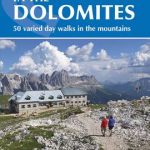 Dolomites Shorter Walks: 50 Varied Day Walks in the Mountains
 Pub Walks: Walks to the Finest Pubs in the Yorkshire Dales
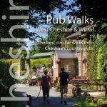 Pub Walks: Short circular walks to Cheshire`s best pubs
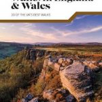 Classic Day Walks in England & Wales: 20 of the UK`s best walks