Disclosure : This site contains affiliate links to products. We may receive a commission for purchases made through these links.
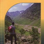
Walking Glencoe, Lochaber and the Great Glen (15)

Related Products:
 Lochaber and Glencoe: Landscapes in Stone
 Corbetts Walking Vol 1: South of the Great Glen
 Corbetts Walking Vol 2 – North of the Great Glen
 Great Glen Way (Trailblazer British Walking Guide): 38 Large-Scale Maps & Guides to 18 Towns and Villages – Planning, Places to Stay, Places to Eat – Fort William to Inverness
 The Great Glen Way Map-Guide
 Great Glen Way Cicerone Map Booklet
 Great Glen Way Rucksack Reader
 Great Glen Way Harvey National Trail XT40
 Great Glen & Loch Ness 110K Sustrans Cycle Map No. 47
 The Great Glen Way: Fort William to Inverness Two-Way Trail Guide
 Glen Esk & Glen Tanar – Aboyne & Mount Keen OS Explorer Map OL54 (paper)
 Glen Coe & Glen Etive – Ballachulish & Kinlochleven OS Explorer Active Map 384 (waterproof)
 Glen Affric & Glen Moriston – Cannich OS Explorer Active Map 415 (waterproof)
 Glen Coe – Glen Etive & Black Mount Harvey Ultramap XT40
 Fort Augustus, Glen Albyn & Glen Roy OS Landranger Active Map 34 (waterproof)
 The Cateran Trail: Blairgowrie – Glen Shee – Glen Isla – Alyth
 Glen Coe – Glen Etive & Black Mount Harvey Superwalker XT25
 Lochnagar, Glen Muick & Glen Clova – Ballater & Balmoral OS Explorer Map OL53 (paper)
 Glen Esk & Glen Tanar – Aboyne & Mount Keen OS Explorer Active Map OL54 (waterproof)
 Lochnagar, Glen Muick & Glen Clova – Ballater & Balmoral OS Explorer Active Map OL53(waterproof)
 Glen Coe & Glen Etive – Ballachulish & Kinlochleven OS Explorer Map 384 (paper)
 Glen Affric & Glen Moriston – Cannich OS Explorer Map 415 (paper)
 Glen Cassley & Glen Oykel OS Explorer Active Map 440 (waterproof)
 Fort Augustus, Glen Albyn & Glen Roy OS Landranger Map 34 (paper)
 Glen Carron & Glen Affric OS Landranger Active Map 25 (waterproof)
 Glen Cassley & Glen Oykel OS Explorer Map 440 (paper)
 Glen Carron & Glen Affric OS Landranger Map 25 (paper)
 Walking the Great North Line: Up England Another Way
 The Great Alone: Walking the Pacific Crest Trail
 Great Britain: Hillside Mini Walking Guides
 Cicerone Great Britain & Ireland Walking Guides
 Fort William and Lochaber: 40 Favourite Walks
 Great Britain: CroydeCycle Local Walking Maps of the West Country
 The Fox of Glencoe
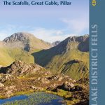 Walking the Lake District Fells – Wasdale: The Scafells, Great Gable, Pillar
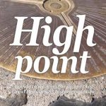 High Point: A Guide to Walking the Summits of Great Britain`s 85 Historic Counties
 Walking the Great North Line: From Stonehenge to Lindisfarne to Discover the Mysteries of Our Ancient Past
 Walking the Via Francigena pilgrim route – Part 2: Lausanne and the Great St Bernard Pass to Lucca
 Great Glen Canoe Trail: A complete guide to Scotland`s first formal canoe trail
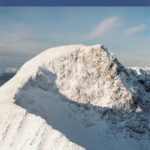 Ben Nevis and Mamores and Glencoe