Disclosure : This site contains affiliate links to products. We may receive a commission for purchases made through these links.
Vosges – Le Hohneck – Gรฉrardner – St-Diรฉ-des-Vosges K+F Outdoor Map 4
The central part of the Vosges Mountains around the peak of Hohneck, Col de la Schlucht and the Col du Bonhomme on a GPS compatible, double-sided map at 1:35,000 from Kรผmmerly+Frey printed on sturdy, waterproof and tear-resistant synthetic paper; contoured, with hiking and cycling routes, sites for other recreational activities, various accommodation options, restaurants and ferme-auberge locations, etc. The map extends north to St-Die-des Vosges, east to Ste-Marie-aux-Mines and south to the Petit Ballon; coverage includes Munster, Gรฉrardner and la Bresse, and the road network indicates the course of the Route des Crรชtes.Contour interval is 40m, enhanced by relief shading plus colouring and/or graphics indicating different types of vegetation. An overprint, graded according to the difficulty of the route, highlights local hiking trails and long-distance GR paths indicating where appropriate their numbers or names including the GR5 and GR531/531 traversing the Vosges Mountains. Also marked are local and long-distance cycle routes, including the EuroVelo routes, as well as cross-country ski trails and a selection of horse riding paths. A wide range of symbols mark sites and facilities for other outdoor activities (climbing, paragliding, stables, etc), different types of accommodation options including campsites, youth hostels and huts, country restaurants and ferme-auberge locations, sites of botanical or cultural interest, etc. The map has a 1-km UTM grid. Map legend includes English. Additional panel provides a small road map of the surrounding region.To see the list of titles in this series please click on the series link.

Related Products:
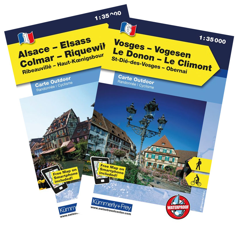
 Vosges – Le Donon – Le Climont – St-Die-des Vosges – ObernaiK+F Outdoor Map 6
 Vosges – Ballon d`Alsace – Le Grand Ballon – Belfort – Thann K+F Outdoor Map 3
 France: Kummerly + Frey Recreational Maps of the Vosges Mountains and Alsace
 Alsace – Colmar – Riquewihr – Ribeauville – Haut-Koenigsbourg K+F Outdoor Map 1
 Alsace – Mulhouse – Basel – Altkirch K+F Outdoor Map 2
 Alsace – Strasbourg – Saverne – Barr – Offenburg K+F Outdoor Map 7
 Alsace – Colmar – Sรฉlestat – Freiburg im Breisgau – Lahr K+F Outdoor Map 5
 Vosges South – Ballon d`Alsace – le Hohneck IGN 75028
 Alsace – Vosges K+F Road Map
 Bad Gastein K+F Outdoor Map 16
 Wรถrthersee – Ossiacher See K+F Outdoor Map 17
 Vienna Woods / Wienerwald K+F Outdoor Map 20
 Wiener Hausberge K+F Outdoor Map 21
 Weinviertel East K+F Outdoor Map 19
 GR de Pays: Ouest des Vosges FFRP Topo-guide No. 881
 Ischgl – Serfaus – Paznautal – Landeck K+F Outdoor Map 4
 Bregenzerwald – Bregenz – Feldkirch – Gr. Walsertal K+F Outdoor Map 1
 Innsbruck – Brenner – Stubaital – Gschnitztal K+F Outdoor Map 7
 Zillertal – Mayrhofen – Hintertux – Gerlospass K+F Outdoor Map 9
 Zell am See – Kaprun – Glemmtal – Unterpinzgau K+F Outdoor Map 11
 Dachstein – Ausseerlnad – Bad Goisern – Hallstatt K+F Outdoor Map 15
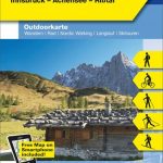 Alpenwelt Karwendel – Innsbruck – Achensee – Risstal K+F Outdoor Map 8
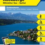 Nationalpark Nockberge – Millstรคtter See – Spittal K+F Outdoor Map 18
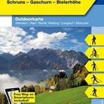 Montafon – Silvretta – Schruns – Gaschum – Bielerhรถhe K+F Outdoor Map 2
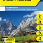 Kitzbรผhel – St. Johann in Tirol – Wilder Kaiser K+F Outdoor Map 10
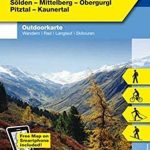 ร–tztal – Sรถlden – Mittelberg – Obergurgl – Pitztal – Kaunertal K+F Outdoor Map 6
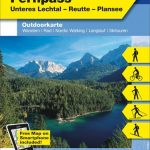 Tannheimer Tal – Fernpass – Unteres Lechtal – Reutte – Plansee K+F Outdoor Map 5
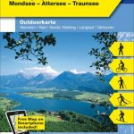 Salzkammergut – St. Wolfgang – Bad Ischl – Mondsee – Attersee – Traunsee K+F Outdoor Map 14
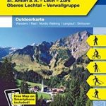 Arlberg – St. Anton – Lech – Zรผrs – Oberes Lechtal – Verwallgruppe K+F Outdoor Map 3
 Alsace – Vosges Central – Strasbourg – Colmar 2-Map Set Kompass 2221
 Alsace – Vosges South – Colmar – Mulhouse 2-Map Set Kompass 2222
 Vosges North – Mont Sainte-Odile – le Donon IGN 75027
 Grossvenediger – Hohe Tauern NP – Matrei – Felber – Tauern – Oberpinzgau K+F Outdoor Map 12
 Alsace – Vosges North – Hagenau – Starsburg 2-Map Set Kompass 2220
 Grossglockner – Franz-Josefs-Hohe – Heiligenblut – Hohe Tauern NP – Hochtor K+F Outdoor Map 13
 Teutoburg Forest K+F Outdoor Map 45
 Wendelstein – Rosenheim – Bayrischzell – Kufstein K+F Outdoor Map 6
Vosges Mountains – Alsace – Black Forest
Wendelstein – Rosenheim – Bayrischzell – Kufstein K+F Outdoor Map 6
Vosges Mountains – Alsace – Black Forest
 Eifel National Park – Ahrtal K+F Outdoor Map 19
 Starnberger See – Ammersee K+F Outdoor Map 27