Disclosure : This site contains affiliate links to products. We may receive a commission for purchases made through these links.
Categories
-
Best Sellers
-
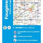
Fougeres – St-Brice-en-Cogles IGN 1317SB
Topographic survey of France at 1:25,000 in IGN`s excellent TOP25 / Sรฉrie Bleue series. All the maps are GPS compatible, with a 1km UTM grid plus Read More » -
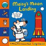
Maisy`s Moon Landing: A Maisy First Science Book
Take your first science steps all the way to the moon with Maisy in this interactive book from the multi-award-winning Lucy Cousins. Turn the wheel to Read More » -

Louth and Mablethorpe – Sutton on Sea & North Somercotes OS Explorer Active Map 283 (waterproof)
Louth, Mablethorpe, Sutton on Sea and North Somercotes area on a detailed topographic and GPS compatible map No. 283, waterproof version, from the Ordnance Survey’s 1:25,000 Read More » -
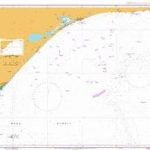
Admiralty Chart AUS357 – North East Point to Point Hicks
Admiralty standard nautical charts comply with Safety of Life at Sea (SOLAS) regulations and are ideal for professional, commercial and recreational use. Charts within the series Read More » -

Just in Case You Want to Fly
From the creators of the award-winning When`s My Birthday? comes an inspirational book that will comfort and support through any challenge.just in case you want to Read More » -
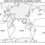
Admiralty Gnomonic Chart 5099 – Indian and Southern Oceans
Gnomonic Charts are used in passage planning to plot great circle routes as straight lines and for devising composite rhumb line courses. Read More » -

Design Museum Fifty
-

Guns, Germs and Steel: (Patterns of the Planet)
PATTERNED PLANET: SPECIAL EDITIONS OF GROUNDBREAKING SCIENCE BOOKSWhy has human history unfolded so differently across the globe? In this Pulitzer Prize-winning book, Jared Diamond puts the Read More » -

Field Guide to the Birds of Southern India
This guide is a successor to the much acclaimed Birds of the Indian Subcontinent by the same authors. Covering southern India, the superb plates are accompanied Read More » -
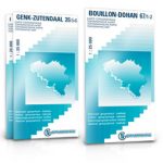
Dilsen-Stokkem NGI Topo 26/3-4
Topographical survey of Belgium at 1:20,000 from Nationaal Geografisch Instituut / Institut Gรฉographique National, the country’s national survey organization. Each 20K map covers one quarter of Read More »
-


