Disclosure : This site contains affiliate links to products. We may receive a commission for purchases made through these links.
Via Francigena in Tuscany
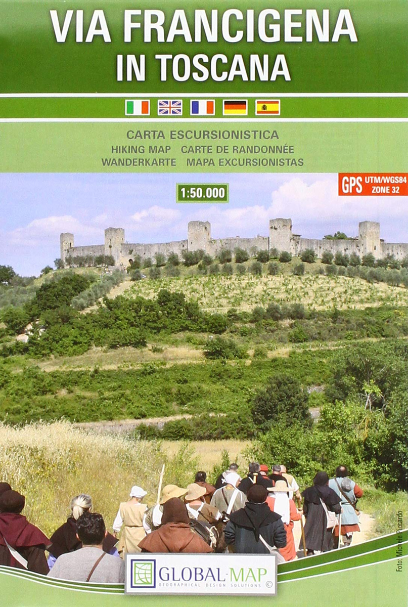
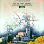
Via Francigena in Tuscany on detailed, contoured GPS compatible map at 1:50,000 from Litografia Artistica Cartografica in their Global Map imprint. The map includes recommendations for accommodation facilities along the route.The map is double-sided and presents the course of Via Francigena, the medieval road from Canterbury to Rome, on eight 23 x 71cm panels with mapping showing the topography by contours at 20m intervals enhanced by relief shading and numerous spot heights. Local protected areas are prominently marked. Symbols highlight various places of interest both directly along the route and in the neighbouring towns and villages. Each panel has margin ticks giving both latitude/longitude and UTM coordinates. Map legend includes English.The map also gives advice on how to divide the whole route into 15 stages with approximate timings, elevation, etc. and provides details of accommodation for pilgrims in local religious establishments.


