Disclosure : This site contains affiliate links to products. We may receive a commission for purchases made through these links.
Vesteralen – Hinnoya South Nordeca 2811
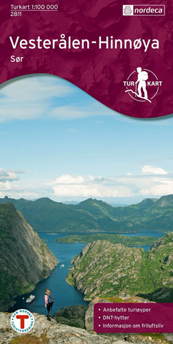
The southern part of the Vesterรฅlen archipelago with Hinnรธya and the nearby smaller islands on a light, waterproof and tear-resistant, contoured and GPS compatible Turkart map at 1:100,000 from Nordeca with cartography of the Norwegian topographic survey and additional tourist information. Coverage extends southwards to include part of the Austvรฅgรธya in the Lofoten Islands.Contours lines are drawn at 40m intervals, with spot heights and additional colouring and/or graphics to indicate forests, bogs, cultivated areas, etc, with boundaries of protected areas. Road classification indicates local roads and cart tracks; the map also shows ferry connections between the islands. Extensive tourist overprint highlights waymarked and unmarked footpaths, illuminated ski trails and other recreational facilities, campsites and various types of tourist accommodation, interesting natural sites, museums, etc. The map has a 2km UTM grid, plus latitude and longitude lines at 20’ and 10’ respectively. On the reverse side are notes about the area. Map legend and most of the notes include English.PLEASE NOTE: this title is also available as part of the 2-map set which includes the northern part of the Vesteralen archipelago with Hinnรธya. To see the list of Turkart maps at 1:100,000 and links to Turkart series at 25K, 50K and Hiking Sets please click on the series link above.

Related Products:
 Vesteralen – Hinnoya North Nordeca 2812
 Finnskogen South Nordeca 2676
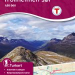 Trollheimen South Nordeca 2828
 South-Valdres Nordeca 2555
 Setesdal Vesthei South Nordeca 2797
 Romsdalsfjella South Nordeca 2822
 Femunden South Nordeca 2722
 Rondane South Nordeca 2521
 Oslo Nordmark South Nordeca 2826
 Lofoten Nordeca 2549
 Vestvรฅgรธy Nordeca 2673
 Lofoten West Nordeca 2745
 Vagan Nordeca 2671
 Huldreheimen Nordeca 2489
 Fjordruta Nordeca 2607
 Forollhogna Nordeca 2731
 Blefjell Nordeca 2207
 Lifjell Nordeca 2219
 Jotunheimen Nordeca 2215
 Femunden Nordeca 2559
 Rondane Nordeca 2716
 Rendalen Nordeca 2753
 Finnemarka Nordeca 2221
 Indre Ryfylke Nordeca 2790
 Folgefonna – Hardangerfjorden Nordeca 2431
 Indre Sunnfjord Nordeca 2481
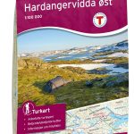 Hardangervidda East Nordeca 2556
 Hardangervidda West Nordeca 2558
 Dovrefjell East – Knutsรธ Nordeca 2710
 Sveio Nordeca 2813
 Jรธlster Nordeca 2568
 Reineskarvet Nordeca 2385
 Tafjordfjella Nordeca 2533
 Lygna Nordeca 2600
 Trondheim Nordeca 2665
 Lysefjorden Nordeca 2681
 Skarverennet Nordeca 2703
 Romeriksรฅsene Nordeca 2225
 Sirdalsheiane Nordeca 2543
 Ringebu Nordeca 2509