Disclosure : This site contains affiliate links to products. We may receive a commission for purchases made through these links.
Vanoise Rando Editions
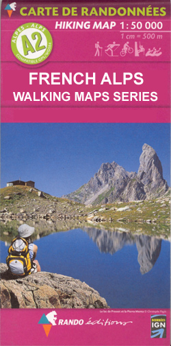
Vanoise massif at 1:50,000 in a series of hiking maps from Rando Editions, with tourist information on a topographic base from the Institut Gรฉographique National. Finely detailed cartography has contours at 20m intervals with relief-shading. Glaciers, cliffs, scree and wooded areas are shown, as well as springs, intermittent streams, etc. Local footpaths and the long-distance GR routes are highlighted and indicate whether signposted, difficult passages, ice hiking trails, and high mountain routes. Symbols highlight mountain huts, refuges and shelters, gรฎtes d’etape, campsites, numerous leisure and sport centres, places of interest, etc. Ski lifts indicate those open in summer. Boundaries of national parks and other protected areas are marked. The maps have a 2km UTM grid. Map legend includes English.

Related Products:
 Beaufortain Rando Editions
Ecrins Rando Editions
Beaufortain Rando Editions
Ecrins Rando Editions
 Mont Blanc Rando Editions
 Belledonne Rando Editions
France: Rando Editions 50K Walking Maps of the French Alps
Belledonne Rando Editions
France: Rando Editions 50K Walking Maps of the French Alps
 France: Rando Editions/IGN 50K Walking Maps of the Pyrenees
 Vanoise National Park – Beaufortain Didier Richard 04
 Massif des Bauges
 Gavarnie-Ordesa Rando Editions 12
 Massif de la Vanoise IGN 75003
 Bรฉarn – Aspe – Ossau – Pyrenees National Park Rando Editions 3
 Ile d`Olรฉron – Ile de Rรฉ Rando Editions
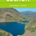 Luchon Rando Editions 5
 Bigorre – Cauterets – Gavarnie – Saint-Lary-Soulan – Pyrenees NP Rando Editions 4
 Pays Basque East Rando Editions 2
 Canigou-Garrotxa Rando Editions 10
 Le Sentier Cathare – Queribus – Peyrepertuse Rando Editions 9
 Pays Basque West Rando Editions 1
 Couserans-Val d`Aran Rando Editions 6
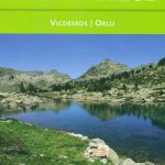 Haute-Ariรฉge Rando Editions 7
 Collioure-Cadaquรฉs Rando Editions 11
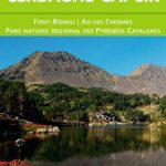 Cerdagne-Capcir Rando Editions 8
 Finistรจre Sud – Quimper ‘“ Douarnenez ‘“ Pont-l’Abbรฉ Rando Editions
 La Traversee der Alpes La Vanoise – PN de la Vanoise GR5/GR55
 Trekking in the Vanoise: Tour of the Vanoise and the Tour des Glaciers de la Vanoise
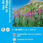 Les Arcs – La Plagne – PN de la Vanoise IGN 3532ET
 Les Arcs – La Plagne – PN de la Vanoise IGN WATERPROOF 3532ETR
 Les Trois Vallees – Modane – PN de la Vanoise IGN 3534OT
 Massif de la Vanoise IGN Wall Map
 Les Trois Vallees – Modane – PN de la Vanoise IGN WATERPROOF 3534OTR
 Tignes – Val-d`Isere – Haute Maurienne – PN de la Vanoise IGN 3633ET
Tignes – Val-d`Isere – Haute Maurienne – PN de la Vanoise IGN WATERPROOF 3633ETR
Tignes – Val-d`Isere – Haute Maurienne – PN de la Vanoise IGN 3633ET
Tignes – Val-d`Isere – Haute Maurienne – PN de la Vanoise IGN WATERPROOF 3633ETR
 Pyrenees Rando Editions
 Vanoise Ski Touring
Picos de Europa National Park Short and Long-Distance Trails
Vanoise Ski Touring
Picos de Europa National Park Short and Long-Distance Trails
 Germany: Freytag & Berndt Hiking and Leisure Maps
 Sareks National Park Lantmateriet BD10
 Du Lรฉman ร la Vanoise – par le Mont Blanc et le Beaufortain GR5
 France: IGN 75K/25K TOP75 Recreational Maps
 Gorges and Monts d`Ardรจche IGN 75014