Disclosure : This site contains affiliate links to products. We may receive a commission for purchases made through these links.
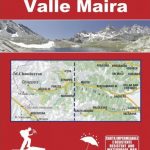
Valle Maira – Acceglio 25K IGC Map No. 111
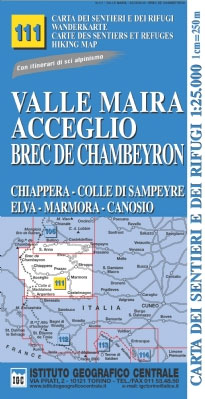
Valle Maira – Acceglio area at 1:25,000 in a series of contoured, GPS compatible walking maps from the Turin based Istituto Geografico Centrale, highlighting hiking trails including long-distance routes, ski routes and alpine accommodation. Maps in this series have contours at 25m intervals, enhanced by shading and graphic relief for very clear presentation of the terrain. An overprint highlights local hiking paths, indicating difficult sections, long-distance routes such as the GTA (Grande Traversata delle Alpi), Tour Monte Rosa, etc. Also marked are ski routes showing hazardous sections. The maps also indicate locations of various types of alpine accommodation: refuges, shelters, hostels, campsites, etc. Cable car lines and chair lifts are marked, and for road users local roads with restricted entry are indicated. Each map covers approximately 22 x 25 km /13 x 15 miles. All the maps have a 2-km UTM grid. Map legend includes English.To see the list of titles in this series please click on the series link.

Related Products:
 Monviso – Valle Varaita – Valle Po – Valle Pellice IGC 106
 La Valpelline – Valle di Ollomont – Valle di St. Barthelemy 30K IGC Map
 Valle Stura – Vinadio – Argentera IGC 112
 Maira, Grana and Stura Valleys IGC 7
 Rocciamelone – Uja di Ciamarella – Le Levanne 25K IGC Map No. 103
 Sestriere – Claviere Sansiciaro – Prali 25K IGC Map No. 105
 Valsavarenche – Val di Rhรชmes – Valgrisenche IGC 102
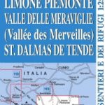 Limone Piemonte – Vallรฉe des Merveilles 25K IGC Map No. 114
 Gran Paradiso – La Grivola – Cogne IGC 101
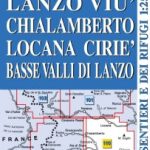 Lanzo – Viรน – Chialamberto – Locana 25K IGC Map No. 110
 Bardonecchia – Monte Thabor – Sauze d`Oulx 25K IGC Map No. 104
 Italy: IGC 25K Walking Maps of the Italian Alps
Matterhorn / Cervino – Breuil Cervinia – Champoluc IGC 108
Monte Rosa – Alagna – Valsesia – Macugnaga – Gressoney IGC 109
Italy: IGC 25K Walking Maps of the Italian Alps
Matterhorn / Cervino – Breuil Cervinia – Champoluc IGC 108
Monte Rosa – Alagna – Valsesia – Macugnaga – Gressoney IGC 109
 Monte Bianco/Mt. Blanc – Courmayeur – Chamonix – La Thuile 25K IGC Map No. 107
 Maritime Alps Natural Park – Entracque – Valdieri – Mercantour – Gelas IGC 113
 Alta Valle Maira
 Valle del Sacra ‘“ Arco ‘“ Riva del Garda Tabacco 055
 Bassa Valle Varaita – Bassa Valle Maira Fraternali Editore 12
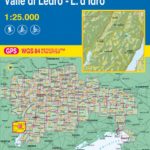 Prealpi Gardesane – Tremalzo – Valle di Ledro – L. d`Idro Tabacco 071
 Ticino North – Valle Maggia – Leventina K+F Hiking Map 26
 Domodossola – Val Formazza 50K IGC Map No. 11
 Val Soana – Valle di Ribordone – Valle di Locana L`Escursionista Editore 15
 Monte Rosa – Alagna – Macugnaga 50K IGC Map No. 10
 Lanzo and Moncenisio Valleys IGC 2
 Genoa – Varazze – Ovada 50K IGC Map No. 16
 Il Canavese: Ivrea to Chiavasso 50K IGC Map No. 21
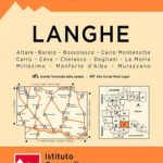 Langhe Meridionali IGC 18
 Asti – Alba – Acqui Terme IGC 19
 Il Monferrato: Asti – Casale Monferrato 50K IGC Map No. 20
 Finale Ligure – Alassio – Savona IGC 15
 Valle Maira l`Escursionista Editore
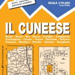 Il Cuneese: Cuneo – Saluzzo – Carmagnola 75K IGC Map No. 24
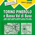 Turin – Pinerolo – Lower Susa Valley 50K IGC Map No. 17
 Monviso IGC 6
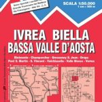 Ivrea – Biela – Lower Aosta Valley 50K IGC Map No. 9
 Val Brembana – Valsassina – Le Grigne: Lecco – Bergamo 50K IGC Map No. 22
 San Remo – Imperia – Monte Carlo IGC 14
 Matterhorn / M. Cervino – Monte Rosa IGC 5
 Susa, Chisone & Germanasca Valleys: Sestiere – Sauze d`Oulx – Bardonecia 50K IGC Map No. 1