Disclosure : This site contains affiliate links to products. We may receive a commission for purchases made through these links.
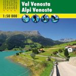
Val Venosta / Vinschgau 3-Map Set Kompass 670
Val Venosta / Vinschgau in the South Tyrol on a set of three contoured and GPS compatible maps at 1:25,000 from Kompass in their series of detailed maps of the Dolomites. Coverage extends from Merano westwards to the Rรจsia lake and pass in the north-west and includes the Stelvio / Stilfser Joch National Par, with the Ortles/Ortler group and Monte Cevedale.CARTOGRAPHY: Kompass maps of the Dolomites at 1:25,000 have contours at 25-m intervals. An overprint shows local and long-distance footpaths, including all the high level routes (Alte Vie). The maps also show the “via ferrata” paths along the iron rails and ladders fitted into the rock faces. Other information includes various types of accommodation (campsites, alpine huts and refuges, etc.), recreational facilities, places of interest, local bus stops, etc. Many titles also have mountain bike trails or ski routes. Selected titles include on the reverse panorama drawings of the area, as indicated in the individual descriptions.GEOGRAPHICAL COORDINATES: most maps are now GPS compatible – titles without geographical coordinates are annotated to that effect in their individual description.MAP LEDENG includes English.BOOKLETS – PLEASE NOTE BEFORE ORDERING – many titles come with booklets describing the area and/or various hiking routes. These booklets are in Italian and German only, apart from a handful of titles where an English language booklet is specifically indicated in the individual description. So, unless English language booklet is actually mentioned, the map can only be supplied with an Italian/German booklet. These booklets are not necessary to use the maps since, as stated above, full English language map legend is provided.TO SEE OTHER TITLES IN THIS SERIES PLEASE CLICK ON THE SERIES LINK.

Related Products:
 Val Venosta / Vinschgau Kompass 52
 Alta Val Venosta / Obervinschgau Kompass 041
 Val Venosta/Vinschgau Freytag & Berndt Map
 Val di Funes / Villnรถsstal Kompass 627
Val d`Ultimo / Ultental Kompass 052
Val di Funes / Villnรถsstal Kompass 627
Val d`Ultimo / Ultental Kompass 052
 Catinaccio / Rosengarten – Latemar Kompass 629
 Ortles / Ortler – Cevedale Kompass 077
Val Pusteria / Pustertal 3-Map Set Kompass 671
Ortles / Ortler – Cevedale Kompass 077
Val Pusteria / Pustertal 3-Map Set Kompass 671
 Val di Fiemme / Fleimstal – Catena dei Lagorai Kompass 618
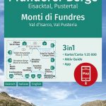 Monti di Fundres / Pfunderer Berge Kompass 081
Alpe di Siusi / Seiser Alpen Kompass 067
Monti di Fundres / Pfunderer Berge Kompass 081
Alpe di Siusi / Seiser Alpen Kompass 067
 La Strada del Vino / South Tyrol Wine Route Kompass 685
 Silandro / Schlanders and Surroundings – Val Martello / Martelltal Kompass 069
 Cortina d`Ampezzo – Dolomiti Ampezzane Kompass 617
 Brunico / Bruneck – Plan de Corones / Kronplatz Kompass 045
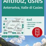 Anterselva / Antholz – Valle di Casies / Gsies Kompass 057
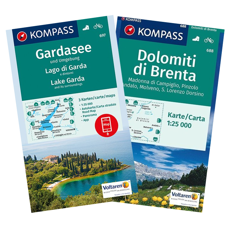
 Dolomiti di Brenta – Madonna di Campiglio – Pinzolo – Andalo Kompass 688
 Tre Cime di Lavaredo / Drei Zinnen Kompass 047
Val Badia / Gedertal Kompass 51
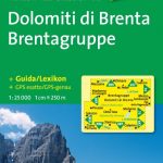
Dolomiti di Brenta Kompass 073
Tre Cime di Lavaredo / Drei Zinnen Kompass 047
Val Badia / Gedertal Kompass 51
Dolomiti di Brenta Kompass 073
 Italy: Kompass 25K/40K Hiking Maps of the Dolomites
Renon / Ritten Kompass 068
Italy: Kompass 25K/40K Hiking Maps of the Dolomites
Renon / Ritten Kompass 068
 Pale di San Martino – Primiero San Martino di Castrozza – Paneveggio – Valle del Vanoi Kompass 622
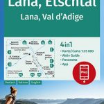 Lana – Etschtal / Val d`Adige Kompass 054
Vipiteno / Sterzing and Environs Kompass 058
Lana – Etschtal / Val d`Adige Kompass 054
Vipiteno / Sterzing and Environs Kompass 058
 Merano Kompass 053
Adamello-Brenta Geopark NP Kompass 070
Monti Sarentino / Sarntal Alps Kompass 056
Bressanone / Brixen and Environs Kompass 050
Merano Kompass 053
Adamello-Brenta Geopark NP Kompass 070
Monti Sarentino / Sarntal Alps Kompass 056
Bressanone / Brixen and Environs Kompass 050
 Brunico – Dobbiaco – Alta Pusteria Kompass 57
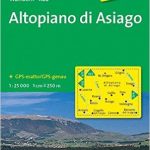 Altopiano di Asiago Kompass 623
 Bolzano and Environs Kompass 154
Val Passiria / Passeiertal Kompass 044
Bolzano and Environs Kompass 154
Val Passiria / Passeiertal Kompass 044
 South Tyrol – Dolomites 4-Map Set Kompass 699
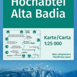 Alta Badia / Hochabtai Kompass 624
Monti de Valle Aurina / Ahrntaler Berge Kompass 082
Alta Badia / Hochabtai Kompass 624
Monti de Valle Aurina / Ahrntaler Berge Kompass 082
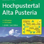 Alta Pusteria / Hochpustertal Kompass 635
Val di Sole – Madonna di Campiglio – Malรจ – Passo del Tonale Kompass 119
Chiusa / Klausen and Environs Kompass 059
Alta Pusteria / Hochpustertal Kompass 635
Val di Sole – Madonna di Campiglio – Malรจ – Passo del Tonale Kompass 119
Chiusa / Klausen and Environs Kompass 059
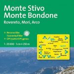 Monte Stivo – Monte Bondone – Rovereto Kompass 687