Disclosure : This site contains affiliate links to products. We may receive a commission for purchases made through these links.
Vaal Triangle
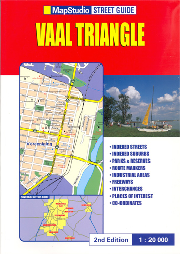
A4 size, paperback street atlas of the municipal areas south of Johannesburg, between Walkerville LAC and Sasolburg, plus Heidelberg and Deneysville. Detail includes one-way streets, traffic lights, toll plazas, railways, airports, suburb and municipal boundaries, industrial areas, parks, and built-up areas. An extensive range of symbols shows tourist information offices, places of interest, hotels, shopping centres, post offices, various public buildings and community services, landmarks, cultural sites, recreation sites and nature reserves. Latitude and longitude values are stated for each corner of the 99 map pages, and on each page an arrow indicates the general direction to central Johannesburg.The map legend is in English only. The atlas is indexed not only for streets but also suburbs, shopping centres, museums and various community services eg. emergency services, administrative offices, schools and hospitals.

Related Products:
 Johannesburg Map Studio Pocket Map
 Joburg & Surrounds Map Studio Street Guide
 Mumbai (Bombay) Street Atlas
 Windhoek
 Ontario Western Street Atlas
 Chennai / Madras Street Atlas
 Bloemfontein Pocket Tourist Map
 Winnipeg Pocket Street Atlas
 Winnipeg and Area Street Atlas
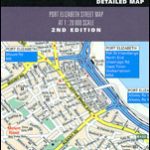 Port Elizabeth Pocket Tourist Map
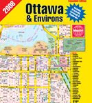 Ottawa and Environs Street Atlas
 Quebec City and Environs Street Atlas
 Nottinghamshire A-Z County Street Atlas
 Outaouais – Laurentides – Abitibi Street Atlas
 Surrey A-Z Street Atlas
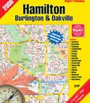 Hamilton – Burlington – Oakville Street Atlas
 Gauteng Map Studio Pocket Map
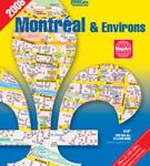 Montreal & Environs Street Atlas
 West Yorkshire – Leeds – Bradford A-Z Street Atlas
 Ontario Northern and Cottage Country Street Atlas
 West Midlands – Birmingham – Coventry – Wolverhampton A-Z Street Atlas
 Vancouver Greater and Fraser Valley Street Atlas Deluxe Edition
 Kitchener – Waterloo Street Atlas
 Calgary & Southern Alberta Street Atlas
 West Sussex A-Z Street Atlas
 Warwickshire A-Z County Atlas
 Delhi Street Atlas
 Tyne & Wear – Newcastle upon Tyne – Sunderland A-Z Street Atlas
 Edmonton & Northern Alberta Street Atlas
 West Lothian Street Atlas
 Zingaro and Monte Cofano Nature Reserves
 Pune City Street Atlas
 Cape Town & Peninsula NGS Adventure Map 3200
 Durban MapStudio Pocket Map
 Great Britain: A-Z County Street Atlases
 Zurich Street Atlas
 Ontario MapArt Pocket Road Atlas
 Miami Borch
 Helsinki Region Street Atlas
 South Africa F&B