Disclosure : This site contains affiliate links to products. We may receive a commission for purchases made through these links.
Uttar Pradesh Map-Guide
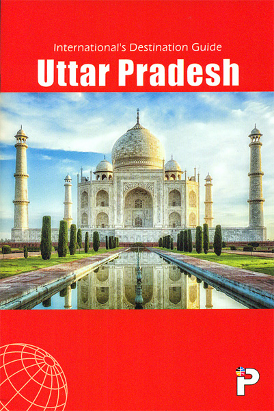
Indian state of Uttar Pradesh on road map from the Delhi-based International Publications, showing many small towns and villages, with a 56-page booklet describing the state and its sights. Additional features include street plans of Agra, Lucknow, Varanasi, Allahabad, Ghaziabad, Gorakhpur, Jhansi, Kanpur Mathura, Meerut, Muzaffarnagar, Noida and Unnao, all highlighting facilities and sights. Also provided in a physical map of the state, a distance chart, plus a table of facts and figures. Illustrated booklet includes notes on arts and crafts, festivals, etc.Unless indicated to the contrary in the individual description, maps in this series present the state with its constituent districts in different colours and also show the division of districts into talukas. Town symbols indicate both district and taluka headquarters. Road network includes many local roads, some with driving distances, although sometimes locations are marked without road access to them shown on the map. Railway lines are included and local airports are marked. Symbols indicate various locations of interest, including historical sites, wildlife sanctuaries, beaches, etc.In many titles additional panels around the main map and/or in the accompanying booklet provide more information: enlargements with more detailed presentation of the road network, street plans of main cities, etc. The booklets, which also include a general introduction to the state and district-by-district descriptions, are published on high quality paper and are illustrated with numerous colour photos.To see the list of titles in this series please click on the series link.

Related Products:
 Madhya Pradesh Map-Guide
 Andhra Pradesh
 Delhi Map-Guide
 Tamil Nadu Map-Guide
 Punjab Map-Guide
 Kerala & Lakshadweep Map-Guide
 Rajasthan Map-Guide
 Uttarakhand Map-Guide
 Varanasi (Benares) & Sarnath Map-Guide
 Maharashtra Map-Guide
 Gujarat Map-Guide
 India: International Publications State Road Map/Guides
 Karnataka Map-Guide
 Goa
Goa
 Jharkhand
 Lake District A-Z Visitor`s Atlas & Guide
 Bihar
Bihar
 Middle East F&B
 India: Eicher State Road Maps
 Golden Triangle Road Map – Delhi – Agra – Jaipur
 Nigeria Road Map – City Guide
 Wellington City and District Pathfinder
 Salzburg State F&B Top 10 Tips
 Armagh City OSNI Street Plan
 Waikato Towns and District Pathfinder
 Ukraine – Moldova F&B
 Salzburg F&B Street Plan
 Hamilton, Cambridge, Te Awamutu Pocket Map
 Mexico: Ed. Independecia State Road Maps and Street Plans
 Getting Around Tokyo Pocket Atlas and Transportation Guide
 Jakarta F&B
 Mรฉxico State – Toluca
 Michoacรกn State – Morelia
 Jalisco State – Guadalajara
 Coahuila State – Saltillo
 Hidalgo State – Pachuca
Sonora State – Hermosillo
Hidalgo State – Pachuca
Sonora State – Hermosillo
 Tabasco State – Villahermosa
 Yucatan State – Mรฉrida