Disclosure : This site contains affiliate links to products. We may receive a commission for purchases made through these links.
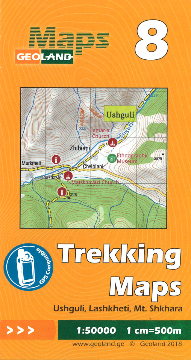
Ushguli – Lashkheti – Mt.Shkhara Geoland 8 WATERPROOF

Related Products:
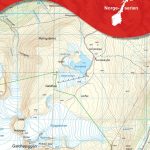
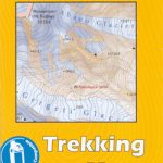
 Ushguli – Lashkheti – Mt.Shkhara Geoland 8
 Mestia – Ushguli – Lashkheti Geoland 9 WATERPROOF
 Mestia – Ushguli – Lashkheti Geoland 9
 Mt Ushba – Mestia Geoland 10 WATERPROOF
 Georgia Geoland Road Map WATERPROOF
 Omalo – Pass Abano – Mt. Diklosmta Geoland 1 WATERPROOF
 Barisakho – Roshka – Juta – Asa Gorge Geoland 3 WATERPROOF
 Tbilisi and Environs Geoland Street Plan WATERPROOF
Shatili – Mutso – Mt. Didi Borbalo Geoland 2 WATERPROOF
Tbilisi and Environs Geoland Street Plan WATERPROOF
Shatili – Mutso – Mt. Didi Borbalo Geoland 2 WATERPROOF
 Mukhuri – Tobavarchkhili Lake – Khaishi Geoland 11 WATERPROOF
Georgian Caucasus – Mt Ushba – Shkhara – Kazbek terraQuest Trekking Map
Mukhuri – Tobavarchkhili Lake – Khaishi Geoland 11 WATERPROOF
Georgian Caucasus – Mt Ushba – Shkhara – Kazbek terraQuest Trekking Map
 Mt Ushba – Mestia Geoland 10
 Borjomi George – Bakuriani Geoland 12
 Kakheti – Tusheti Geoland Regional 1
Samegrelo-Svaneti Geoland Regional 4
Kakheti – Tusheti Geoland Regional 1
Samegrelo-Svaneti Geoland Regional 4
 Guria-Imereti Geoland Regional 5
Adjara-Javakheti Geoland Regional 6
Guria-Imereti Geoland Regional 5
Adjara-Javakheti Geoland Regional 6
 Omalo – Pass Abano – Mt. Diklosmta Geoland 1
 Shatili – Mutso – Mt. Didi Borbalo Geoland 2
 Barisakho – Roshka – Juta – Asa Gorge Geoland 3
 Khevi – Mt. Kazbegi – Gudauri – Truso Geoland 4
 Mukhuri – Tobavarchkhili Lake – Khaishi Geoland 11
Tbilisi and Environs Geoland Street Plan
Mtskheta-Mtianeti – Kvemo Kartli Geoland Regional 2
Samtskhe-Javakheti – Shida Kartli Geoland Regional 3
Mukhuri – Tobavarchkhili Lake – Khaishi Geoland 11
Tbilisi and Environs Geoland Street Plan
Mtskheta-Mtianeti – Kvemo Kartli Geoland Regional 2
Samtskhe-Javakheti – Shida Kartli Geoland Regional 3
 Georgia: Geoland 50K Trekking Maps
Georgia: Geoland 200K Regional Travel Maps
Georgia: Geoland 50K Trekking Maps
Georgia: Geoland 200K Regional Travel Maps
 Oni – Utsera Resort – Ghebi Resort Geoland 7
 London A-Z Premier Map WATERPROOF
 Manchester Premier A-Z Map WATERPROOF
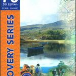 Kerry OSI Discovery 78 WATERPROOF
 Top End and Gulf Hema Waterproof Map
 Paris IGN WATERPROOF Street Map
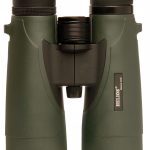 12×42 Mistral WP6 Waterproof R/P Binocular
 6.5×32 Aquila MS Waterproof Binocular
8.5×32 Aquila MS Waterproof Binocular
6.5×32 Aquila MS Waterproof Binocular
8.5×32 Aquila MS Waterproof Binocular
 Mont-Ventoux IGN WATERPROOF 3140ETR
 Megeve – Col des Aravis IGN WATERPROOF 3531OTR
 Massif du Canigou IGN WATERPROOF 2349ETR