Disclosure : This site contains affiliate links to products. We may receive a commission for purchases made through these links.
USA – Canada South F&B
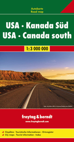
USA with southern Canada on a double-sided map at 1:3,000,000 from ITMB with its index booklet attached to the map cover also providing downtown street plans of 20 cities. The map presents the road network on a base with relief shading and colouring to indicate the topography, with plenty of names of mountain ranges, valleys, etc.The map also shows a large number of smaller locations with the names of many medium-size cities in larger print than found on most similar maps. This means that in the more densely populated parts of the USA, along the Eastern Seaboard including New England or within the Los Angeles conurbation, the road network all but disappears under the place names! The map has latitude and longitude lines at 1ยบ interval and an extensive index, so would be excellent for reference rather than for route planning. Multilingual map legend includes English.The index booklet also contains downtown street plans of Atlanta, Boston, Chicago, Denver, Jacksonville, Las Vegas, Miami, Nashville, New Orleans, New York City, Orlando, San Francisco, Seattle and Washington DC, plus Montreal, Ottawa, Toronto and Vancouver.

Related Products:
 Italy South F&B
 Serbia South F&B
 Canada Marco Polo Map
 California F&B
 Denmark South – Kolding – Copenhagen – Bornholm
 Dalmatia – Croatia Coast Central and South
 USA & Canada South Insight Travel Map
 Italy North F&B
 Morocco F&B
 Germany 700K F&B
 Kosovo F&B Top 10 Tips
 Belarus F&B
 Balkans – South-East Europe F&B
 Ukraine – Moldova F&B
 Europe Eastern F&B
 Serbia North F&B
 Bavaria South Marco Polo Regional Map 13
 Spain – Portugal F&B
 Central Asia F&B
 Greece F&B
 Chios F&B
 Rhodes F&B
 Ireland Marco Polo Map
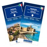
 Italy South Michelin Regional 564
 South Africa F&B
 Emilia-Romagna – Parma – Bologna – Ravenna K+F Regional Road Map 7
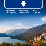 Abruzzo – Molise – l`Aquila – Pescara – Campobasso K+F Regional Road Map 11
 USA – Southern Canada Marco Polo Road Atlas A4 SPIRAL-BOUND
 Poland South
 North Macedonia F&B Top 10 Tips
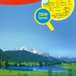 Germany South Marco Polo Zoom Map
 Europe F&B Compact Road Atlas
 USA South: Atlantic States ITMB
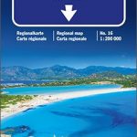 Sardinia – Cagliari – Sassari K+F Regional Map 16
 Sicily – Palermo – Catania K+F Regional Map 15
 Campania – Basilicata – Naples – Potenza – Bari K+F Regional Road Map 12
 Northern Europe – Scandinavia F&B
 Italy: Kรผmmerly + Frey 200K Regional Road Maps
 Lesbos F&B
 Europe Western F&B