Disclosure : This site contains affiliate links to products. We may receive a commission for purchases made through these links.
United Kingdom and Ireland Collins Children`s Wall Map
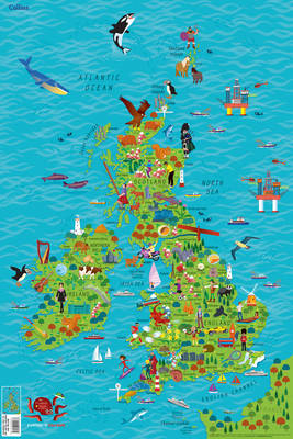
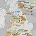
Colourful Illustrated Map of the United Kingdom and Ireland This highly illustrated, rolled pictorial map is designed to take children on a journey of discovery around the United Kingdom and Ireland. Stunning illustrations are used to depict themes such as national emblems, customs, food, birds, animals, buildings and sports to help younger readers gain an understanding of peoples around the world. Illustrated by Steve Evans.

Related Products:
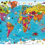 World Collins Children`s Wall Map
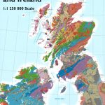
 Bedrock Geology of the United Kingdom and Ireland Wall Map
 United Kingdom & Ireland Schofield & Sims Wall Map
 Bedrock Geology of the United Kingdom and Ireland
 United Kingdom AmazingWorld Wall Map
 The Big Book of the UK: Facts, folklore and fascinations from around the United Kingdom
 Solid Geology Map United Kingdom, Ireland and Adjacent Continental Shelf – South Sheet
 NP201B Tide Tables – United Kingdom and Ireland 2019
 NP201B Tide Tables – United Kingdom and Ireland 2020
 NP201B Tide Tables – United Kingdom and Ireland 2022
 NP201B Tide Tables – United Kingdom and Ireland 2021
NP201 Tide Tables – United Kingdom & Ireland 2015
NP201B Tide Tables – United Kingdom and Ireland 2021
NP201 Tide Tables – United Kingdom & Ireland 2015
 Who Knows Where? – United Kingdom & Ireland Board Game
NP286 (1) Pilot Services (United Kingdom and Ireland) 2021
Who Knows Where? – United Kingdom & Ireland Board Game
NP286 (1) Pilot Services (United Kingdom and Ireland) 2021
 NP286 (1) Pilot Services (United Kingdom and Ireland) 2017118 SUPERCEDED
 NP286 (1) Pilot Services (United Kingdom and Ireland) 2020 SUPERCEDED
 NP286 (1) Pilot Services (United Kingdom and Ireland) 2018/19 SUPERCEDED
 NP286 (1) Pilot Services (United Kingdom and Ireland) 2019/20 SUPERCEDED
 United Kingdom OS Administrative Boundaries Wall Map LAMINATED
 Maps of the United Kingdom
 United Kingdom Global Mapping Political A3 Wall Map
United Kingdom South Bedrock Geology BGS Wall Map
United Kingdom Global Mapping Political A3 Wall Map
United Kingdom South Bedrock Geology BGS Wall Map
 Admiralty Chart 2 – United Kingdom and Ireland
 United Kingdom North Bedrock Geology BGS Wall Map
 Lonely Planet`s Ultimate United Kingdom Travelist
 World Children`s Illustrated Physical Kruger & Schonhoff Wall Map
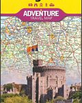 United Kingdom NGS Adventure Map 3325
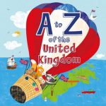 A To Z of the United Kingdom: With a Pull Out A to Z Poster Inside
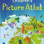 Collins Children`s Picture Atlas
 Magnetic Fridge Map of the United Kingdom
 Life in the United Kingdom: Handbook: A Guide for New Residents
 United Kingdom South BGS Bedrock Geology Pack
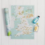 United Kingdom Gin Collect & Scratch Map
United Kingdom South BGS Bedrock Geology Map
United Kingdom North BGS Bedrock Geology Pack
United Kingdom Gin Collect & Scratch Map
United Kingdom South BGS Bedrock Geology Map
United Kingdom North BGS Bedrock Geology Pack
 A United Ireland: Why Unification is Inevitable and How it Will Come About
 United Kingdom Adrenaline Junkie Scratch Print
 Children`s Animals of the World Wall Map PAPER
 United Kingdom North BGS Bedrock Geology Map
 United Kingdom Cycle Climbs Collect and Scratch Print