Disclosure : This site contains affiliate links to products. We may receive a commission for purchases made through these links.
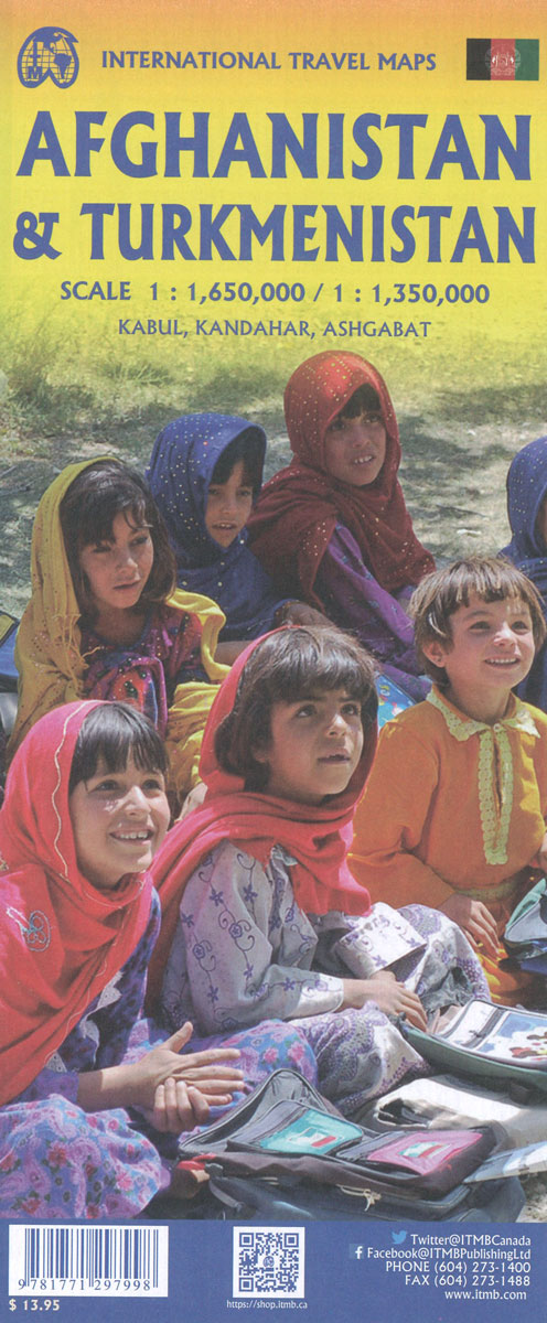
Turkmenistan & Afghanistan ITMB

Related Products:
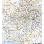
 Afghanistan ITMB
 Turkmenistan
 Flag of Turkmenistan
 Turkmenistan Gizi Map
 Turkmenistan Gizi Wall Map
 Love Me Turkmenistan
 Sovietistan: A Journey Through Turkmenistan, Kazakhstan, Tajikistan, Kyrgyzstan and Uzbekistan
 Afghanistan F&B
 Afghanistan
 Afghanistan Reise-Know-How Map
 Afghanistan Nelles Map
 Afghanistan – Kabul & 5 Cities Gizi Map
 Afghanistan and Pakistan NGS Classic Wall Map PAPER
Afghanistan – Kabul & 5 Cities Street Plans Gizi Wall Map
Afghanistan and Pakistan NGS Classic Wall Map PAPER
Afghanistan – Kabul & 5 Cities Street Plans Gizi Wall Map
 Afghanistan: What Everyone Needs to Know (R)
 Come Back To Afghanistan
 Ghost Of Afghanistan
 Ali`s Story – A Journey from Afghanistan
 Afghanistan Hand Flag
 Afghanistan – A Modern History
 Afghanistan – A Cultural History
 The Archaeology and Architecture of Afghanistan
 Afghanistan – Culture Smart!
 Afghanistan – A Companion and Guide
 Flag of Afghanistan (post 2004)
 An Unexpected Light: Travels in Afghanistan
 Return of a King: The Battle for Afghanistan
 Afgantsy, The Russians in Afghanistan 1979-89
 The Minaret Of Djam – An Excursion In Afghanistan
 Burke and Norfolk – Photographs from the War in Afghanistan
 A Heavy Reckoning: War, Medicine and Survival in Afghanistan and Beyond
 Good Morning Afghanistan: The Crusade of Words
 The Sewing Circles of Herat – A Memoir of Afghanistan
 Farewell Kabul: From Afghanistan to a More Dangerous World
 Modern Afghanistan: A History of Struggle and Survival
 The Kings of Afghanistan: War and Dreams in the Land of the Enlightened
 For A Pagan Song – Travels in India Pakistan & Afghanistan
 Dear Zari: Hidden Stories from Women of Afghanistan
 The Light Garden of the Angel King: Travels in Afghanistan
 Under Every Leaf: How Britain Played the Greater Game from Afghanistan to Africa