Disclosure : This site contains affiliate links to products. We may receive a commission for purchases made through these links.
Turkey – Middle East Road Map
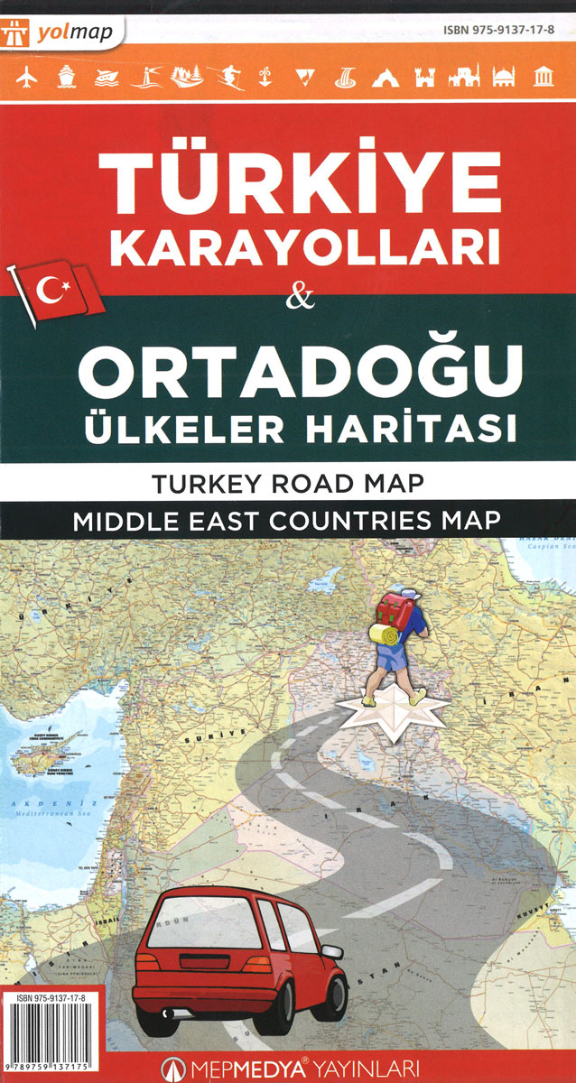
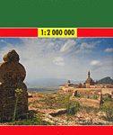
Turkey Road Map at 1:1,200,000 from Mepmedya includes main transport routes (major roads and railways), many places of interest and a distance chart on a double-sided sheet. *Map legend also in English.* Motorways, secondary and many minor roads are shown and numbered where relevant, as are major railway lines, airports, some major ferry routes and major harbours. Mountain passes are shown with an indication of their altitude, and border crossing points are marked.Provinces are delineated and each is given a background colour to make it stand out against neighbouring provinces. Provincial capitals and many smaller towns are marked, with an indication of their administrative importance.Relief shading defines the terrain, mountain ranges are named and spot heights are shown for major peaks. The main lakes, rivers and dams of the country are marked and named. Waterfalls, caves and springs are also displayed. Latitude and longitude lines are drawn at intervals of 1ยฐ.The mapping is annotated with numerous places of interest. These range from ancient ruins, castles and historic sites, to museums, national parks, resorts and ski centres. The most important sites are numbered, with descriptions and photography appearing beneath the map and on the reverse.The map coverage appears on two side of the sheet, with the split at a line just north of Izmir (with a slight overlap).Also includes a chart showing distances between 80 towns and cities.


