Disclosure : This site contains affiliate links to products. We may receive a commission for purchases made through these links.
Tresco: St Helen`s, Tean and Round Island

Related Products:
 NOAA Chart 16480 – Amukta Island to Igitkin Island – Seguam Island’”Finch Cove – Amlia Island’”Sviechnikof Harbor
 Imray Chart: Saint Marys, Tresco and Surrounding Islands 2400.14
 Isles of Scilly Guidebook: St Mary`s, St Agnes, Bryher, Tresco, St Martin`s
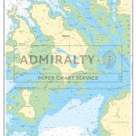 Admiralty Chart SC5603_11 – Isles of Scilly Saint Mary`s Pool to Tresco
 Helen: Greek Myths
 Helen Ward`s a Hedgerow Year
 Tresco – Teรคn – St Helens
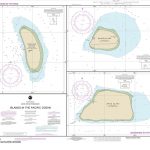 NOAA Chart 83116 – Islands in the Pacific Ocean – Baker Island – Howland Island – Jarvis Island
 ROUND AND ROUND THE GARDEN
 Helen Of Troy: Goddess, Princess, Whore
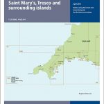 Y50 Saint Mary`s, Tresco and Surrounding Islands
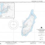 NGA Chart 81127 – Helen Reef [West Caroline Islands]
 Admiralty Chart 2754 – Fire Island Inlet to Block Island Sound including Long Island Sound
 NZ522 Paepae-o-Tu / Bream Tail to Kawau Island including Great Barrier Island (Aotea Island)
 Round Oak Base For 2.5″ Magnabrite Magnifier
 Admiralty Chart SLB301 – Solomon Islands, Bougainville Island to Ghizo Island
 Admiralty Chart SLB302 – Solomon Islands, Choiseul Island to New Georgia Island
 Admiralty Chart SLB305 – Solomon Islands, San Cristobal Island to Malaita Island
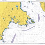 Admiralty Chart 4953 – Vancouver Island, Race Rocks to d`Arcy Island
 NOAA Chart 16012 – Aleutian Islands’”Amukta Island to Attu Island
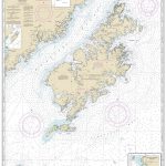 NOAA Chart 16580 – Kodiak Island – Southwest Anchorage’”Chirkof Island
 Admiralty Chart 3207 – Gerlache Strait Bluff Island to Emma Island
 Admiralty Chart 446 – Antarctica – Graham Land, Anvers Island to Renaud Island
 NOAA Chart 16420 – Near Islands’”Buldir Island to Attu Island
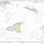 NOAA Chart 16423 – Shemya Island to Attu Island (Metric)
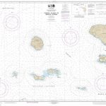 NOAA Chart 16465 – Tanaga Island to Unalga Island (Metric)
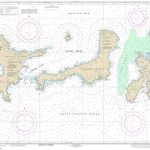 NOAA Chart 16467 – Adak Island to Tanaga Island (Metric)
 NOAA Chart 14997 – Rainy Lake’”Dryweed Island to Big Island
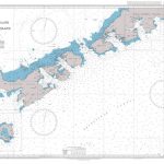 Admiralty Chart 1776 – Livingston Island to King George Island
 Admiralty Chart 1879 – Rathlin O`Birne Island to Aran Island
 Admiralty Chart SLB303 – Solomon Islands, Santa Isabel Island to Guadalcanal Island
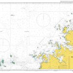 Admiralty Chart AUS320 – Browse Island to Adele Island including Bonaparte Archipelago
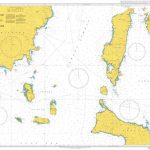 Admiralty Chart 4484 – Ambulong Island to Sibuyan Island including – Semirara Islands
 NOAA Chart 11328 – Houston Ship Channel – Atkinson Island to Alexander Island
 Admiralty Chart 4764 – Cabot Strait and Approaches Scatarie Island to Anticosti Island
 Admiralty Chart 2798 – Lough Foyle to Sanda Island including Rathlin Island
 Admiralty Chart NZ522 – Bream Tail to Kawau Island including Great Barrier Island
 NOAA Chart 17382 – Zarembo Island and Approaches – Steamer Bay – Burnett Inlet’”Etolin Island
 NOAA Chart 16478 – Tagalak Island to Great Sitkin Island – Sand Bay’”Northeast Cove
 Admiralty Chart NZ5324 – N. Island East Coast, Tamaki Strait and Approaches to Waiheke Island


