Disclosure : This site contains affiliate links to products. We may receive a commission for purchases made through these links.
Tibetan on Tibet

Related Products:
 Discovering Tibet: The Tucci Expeditions and Tibetan Paintings
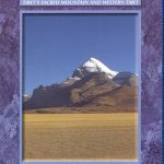 Mount Kailash Trek – Tibet`s Sacred Mountain & Western Tibet
 Tibetan Transit
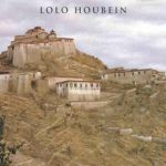
 Tibetan Foothold
 Tibetan Book of the Dead
 The Tibetan Book of the Dead
 Lonely Planet Tibetan Phrasebook & Dictionary
 Tibetan Shadows
 Buddhist Symbols in Tibetan Culture
 The Tibetan Book Of Living And Dying
 Lhasa Traditional Tibetan Architecture and Townscape
 The Tibetan Book of the Dead.: First Complete Translation
 Tibet
Tibet
 Tibet, Tibet
 A Year In Tibet
 To a Mountain in Tibet
 Seven Years in Tibet
 Child Of Tibet
 First Russia, Then Tibet
 Touching Tibet
 The Snows Of Tibet
 Magic and Mystery in Tibet
 Tibet: An Unfinished Story
 From a Mountain In Tibet: A Monk`s Journey
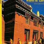 Tibet – Turning the Wheel of Life
 Escape from Tibet: A True Story
 Ten Tales from Tibet: Cultivating Compassion
 The Friendship Highway: Two Journeys in Tibet
 Tibet Unconquered – The Epic Struggle for Independence
 The Art of Patience: Seeking the Snow Leopard in Tibet
 For Tibet, with Love: A Beginner`s Guide to Changing the World
 A Mountain in Tibet: The Search for Mount Kailas and the Sources of the Great Rivers of Asia
 Everest: A Trekker`s Guide: Base Camp, Kala Patthar and other trekking routes in Nepal and Tibet
 Mapping the Great Game: Explorers, Spies & Maps in 19th-Century Central Asia, India and Tibet
 The Art of Tibet
 Tibet: An Inner Journey
 Tibet ITMB
 Tibet Reise Know-How
 Tibet Gizi Map
 Flag of Tibet