Disclosure : This site contains affiliate links to products. We may receive a commission for purchases made through these links.
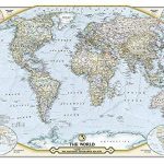
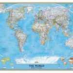
The World – The National Geographic 125th Anniversary Wall Map ENCAPSULATED
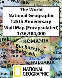
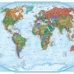
National Geographic’s 125th Anniversary World Wall Map, encapsulated version – size 117 x 77.5cm (46″ x 30.5″ approx), combining present day and historical world maps; on one side a contemporary political map with two insets showing the world in 1888 and 1988, plus on the reverse a world map published by the Society in 1922.On one side is a present day political map of the world, showing countries in pleasant pastel colours. All place names are in their English versions. On land the map has very subtle relief shading with names of main geographic features: deserts, mountain ranges, highest peaks (altitude in feet), etc. On light blue oceans stronger shading shows the sea floor with names of ridges, basins, plateaux, etc. North and South Polar regions are presented on insets. The map has latitude and longitude lines at 30ยฐ, plus clocks indicating time difference from GMT. Two more insets show the world in 1888 and 1988 ‘“ the Society’s founding and centennial years.On the reverse is a reproduction of the National Geographic Society’s first map of the world, published as a supplement to the December 1922 magazine. The map is centred on the Americas, splitting Asia east of the Indian Subcontinent, and indicates colonial possessions and dominions. An interesting feature are airline routes, marked as in operation, authorized but not yet in operation, and flown but not yet commercially adopted. Insets present the two Polar Regions, plus maps showing natural vegetation with ocean currents and the density of population with prevailing winds.Please note: this title is also available on paper only, either as a wall map or in a folded version.LAMINATED and ENCAPSULATED WALL MAPS:- LAMINATED wall maps have a thin layer of plastic usually applied to the printed side only. They can be written on with suitable marker pens without any damage to the map but, unless laminated on both sides, they are not damp-proof.- ENCAPSULATED wall maps are sealed between two sheets of plastic. They are more rigid and heavier than laminated maps of the same size. They are damp-proof and do not crinkle in humid conditions. Encapsulation gives the map a shiny surface, similar to being displayed behind glass.- PLEASE NOTE: many publishers and retailers often use these two terms interchangeably. Our map titles and descriptions follow the definitions provided above.


