Disclosure : This site contains affiliate links to products. We may receive a commission for purchases made through these links.
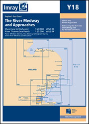
The River Medway and Approaches Y18 SUPERCEDED
Related Products:
 Y18 The River Medway and Approaches
 Admiralty Chart Folio 8 – River Thames and Medway and Approaches
 Admiralty Chart 2482 – River Medway and The Swale
 Admiralty Chart 1835 – River Medway Folly Point to Maidstone
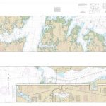 NOAA Chart 11553 – Intracoastal Waterway’”Albemarle Sound to Neuse River – Alligator River – Second Creek SUPERCEDED
 River Medway: the Upper Reaches – Rochester to Tonbridge
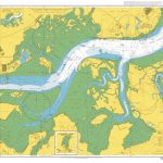 Admiralty Chart 1834 – River Medway Garrison Point to Folly Point
 Y58 River Fal SUPERCEDED
 The River Nene SUPERCEDED
 NOAA Chart 11490 – Approaches to St. Johns River – St. Johns River Entrance
 Admiralty Chart SC5602_3 – River Fal Saint Just Pool to Truro River – Continuations of Truro River, Tresillian River and Carnon River
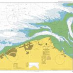 Admiralty Chart 1953 – Approaches to the River Dee
 Admiralty Chart 834 – Bassein River and Approaches
 Admiralty Chart SC5617_13 – Approaches to River Tay
 Admiralty Chart 732 – Pussur River and Approaches
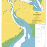 Admiralty Chart 833 – Rangoon River and Approaches
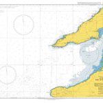 Admiralty Chart 1819 – Approaches to the River Shannon
 Admiralty Chart 1845 – Moulmein River And Approaches
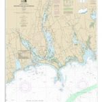 NOAA Chart 13228 – Westport River and Approaches
 NOAA Chart 11339 – Calcasieu River and Approaches
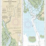 NOAA Chart 11406 – St. Marks River and Approaches
 Admiralty Chart IN301 – Approaches to Hugli River
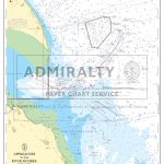 Admiralty Chart SC5614_14 – Approaches to the River Humber
 Admiralty Chart SC5602_10 – Approaches to the River Dart
 Admiralty Chart 1994 – Approaches to the River Clyde
 Admiralty Chart 2687 – Approaches to the Berbice River
 Admiralty Chart 3286 – Approaches to Bonny River
 NOAA Chart 11536 – Approaches to Cape Fear River
 Admiralty Chart SC5607_3 – Outer Approaches to the River Blackwater
 Admiralty Chart 107 – East Coast, Approaches to the River Humber
 The Kent Ramblers Guide to Three River Valley Walks in West Kent: Darent Valley Path, Eden Valley Walk, Medway Valley Walk
 Admiralty Chart 1935 – Approaches to Blyth the River Tyne and Sunderland
 NOAA Chart 14822 – Approaches to Niagara River and Welland Canal
 Admiralty Chart 2290 – River Exe and Approaches Including Exeter Canal
 Admiralty Chart 3688 – Cape Fear River and Approaches including Wilmington
 Admiralty Chart SC5607_6 – Approaches to Harwich and Woodbridge Haven – Continuation of River Deben
 Admiralty Chart 2801 – Outer Approaches to Port Royal Sound and Savannah River
 Admiralty Chart 3687 – Outer Approaches to Cape Fear River including Frying Pan Shoals
 Admiralty Chart SC5615_17 – River Forth Grangemouth Roads – River Forth, Grangemouth and River Carron – River Forth River Carron
 NOAA Chart 16662 – Cook Inlet’”Kalgin Island to North Foreland – Drift River – Kasilof River to Kenai River – Nikiski


