Disclosure : This site contains affiliate links to products. We may receive a commission for purchases made through these links.
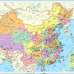
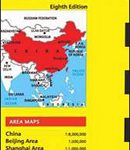
The People`s Republic of China Administrative Map
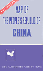
Administrative Map of China at 1:6,000,000 from the Beijing based China Cartographic Publishing House showing the country’s provinces in bright colours. All place names are given transliterated into Latin alphabet. An inset shows the area of the South China Sea claimed by China.Each province is shown in a different colour, with town symbols indicating their administrative status. The map shows the network of main road and rail connections. Also marked are coastal and international ferry and shipping lines.The base map, in addition to showing rivers and main lakes, also indicates deserts and swamps areas, plus gives names of main mountain ranges, peaks, etc. The map has latitude and longitude lines drawn at 5ยฐ intervals. Map legend is on English. Current edition of this title was published in 2002.

Related Products:
 China Administrative Gizi Map
 China Gizi Map Administrative Wall Map
 China Administrative Wall Map
 China NGS Classic Wall Map PAPER
 China Gizi Map Geographical Wall Map
 China West Reise Know-How
 China NGS Classic Wall Map ENCAPSULATED
 China East – North and South Korea Reise Know-How
 Switzerland K+F Administrative Map
 China Reise Know-How
 China – Mongolia
 China NGS Executive Wall Map ENCAPSULATED
 Flag of China (People`s Republic of)
 China – Mongolia – Taiwan F&B
 China West ITMB
 A Brief History of China: Dynasty, Revolution and Transformation: From the Middle Kingdom to the People`s Republic
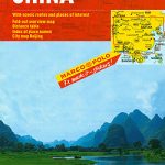 China Marco Polo Map
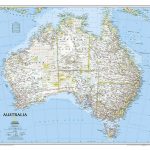 Australia NGS Classic Wall Map PAPER
 China South Gizi Map
 China North-West Wall Map
 Congo Democratic Republic (Carte Generale du Zaire)
 China Periplus Travel Map
 China South Wall Map
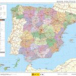 Spain CNIG Administrative Wall Map
 Germany Administrative F&B Wall Map
 China North East Nelles Map
 Central African Republic IGN 85011
 China East ITMB
 Australia NGS Executive Wall Map PAPER
 China North East
 China: Reise Know-How Road Maps
 Congo, Democratic Republic
 China ITMB
 China: GiziMap Regional Maps
 Dominican Republic NGS Adventure Map 3102
 China: An Introduction to the Culture and People
 China Central Wall Map