Disclosure : This site contains affiliate links to products. We may receive a commission for purchases made through these links.
The Islamic World – The New Cultural Atlas of

Related Products:
 An Uncommon Atlas: 50 new views of our physical, cultural and political world
 In Whose Name? The Islamic World after 9/11
 Architecture of the Islamic World
 Feast: Food of the Islamic World
 On the Road to Kandahar – Travels through conflict in the Islamic World
 This Orient Isle: Elizabethan England and the Islamic World
 China – The New Cultural Atlas of
 Egypt – The New Cultural Atlas of
 The World According to Colour: A Cultural History
 The World Turned Upside Down: A History of the Chinese Cultural Revolution
 National Geographic Kids My First Atlas of the World: A Child`s First Picture Atlas
 National Geographic Kids Beginner`s World Atlas (Atlas)
 The UNESCO Intangible Cultural Heritage: Cultural Practices and Expressions of our Legacy
 Reference World Atlas: An Encyclopedia in an Atlas
 Atlas, Schmatlas – A Superior Atlas of the World
 The Times World Atlas Puzzle Book: Put your knowledge of the world to the ultimate test
 World Atlas of Beer: THE ESSENTIAL NEW GUIDE TO THE BEERS OF THE WORLD
 MapSherpa POD Physical World Map – Atlas of the World 10th Edition 711 x 559 mm
 Complete Atlas of the World: Classic Mapping for the Modern World
 Collins World Atlas: Know Your World
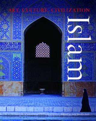
 Islamic Art And Architecture
 Atlas Obscura, 2nd Edition: An Explorer`s Guide to the World`s Hidden Wonders
 My Pop-Up World Atlas
 Atlas of the First World War
 World Atlas
 World Atlas of
 What`s Where on Earth? Atlas: The World as You`ve Never Seen it Before
 Atlas of World Cities
 Children`s World Atlas
 The State of the World Atlas
 My First Atlas: Discovering the World
 Compact World Atlas
 Student World Atlas
 The Illustrated World Atlas
 World Atlas of Sport
 Beginner`s World Atlas
 The World Atlas of Whisky
 Atlas of World Affairs
World War II Illustrated Atlas
Atlas of World Affairs
World War II Illustrated Atlas
 Philip`s RGS Atlas of the World