Disclosure : This site contains affiliate links to products. We may receive a commission for purchases made through these links.
The Great Indian Railway Atlas
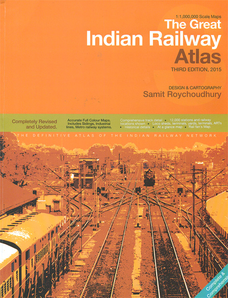
The Great Railway Atlas of India, now in its third edition published in 2015, presenting the country’s railway network on maps at approx. 1:1,000,000 with numerous more detailed maps of main railway locations, including diagrams of metro networks. Designed and drawn by Samit Roychoudhury, the atlas provides a very detailed classification of the network according to the gauge and the number of lines, electrification (including in progress and planned), closed lines with stations and sidings, etc. Icons mark locations of different types of sheds, workshops, yards, etc. The index lists 12,000 stations and other railway locations, indicating by colouring closed stations or sidings, etc. Inset maps provide more detailed coverage of 23 important areas, and metro maps are included for Delhi, Bengaluru (Bangalore), Chennai, Hyderabad, Jaipur, Kochi, Kolkata, Lucknow and Mumbai. The atlas also includes an at-a-glance map of the whole country, a map indicating locations of museums, plus a glossary of changes in names of towns and railway stations.

Related Products:
 China Railway Atlas
 Austria Railway Atlas
 Birmingham and West Midlands Railway Atlas
 ABC London Railway Atlas
 Atlas of the Southern Railway
 London Railway Atlas
 British Railway Atlas, 1955
 Russia Railway Atlas – Russia and the former Soviet Republics
 Austria F&B Great Travel Atlas
 Railway Atlas of Ireland Then & Now
 ABC British Railway Atlas
 London Rail Atlas: Fifth Edition
 Europe Travellers` Railway Map
 The Railway Atlas of Scotland: Two Hundred Years of History in Maps
Italy F&B Great Road Atlas SPIRAL-BOUND
The Railway Atlas of Scotland: Two Hundred Years of History in Maps
Italy F&B Great Road Atlas SPIRAL-BOUND
 Indian Subcontinent ITMB Travel Atlas
 Baltic States Regio Road Atlas
 Japan Railway & Road ITMB Travel Atlas
Poland ExpressMap Road Atlas 2020/2021
Japan Railway & Road ITMB Travel Atlas
Poland ExpressMap Road Atlas 2020/2021
 Great Western Railway Map 1924: Paddinton to Penzance Wall Map (in Gold Tube)
 Ukraine Kartografija Road Atlas 500K HARDBACK
Ukraine Road Atlas (500K, Spiral-bound)
Ukraine Kartografija Road Atlas 500K HARDBACK
Ukraine Road Atlas (500K, Spiral-bound)
 Rail Atlas Europe
 Kolkata / Calcutta Street Atlas
 Czechia Shocart 75K Cycling Atlas
 Hungary – Budapest Road Atlas SPIRAL-BOUND
 Czech Republic 100K Cycling Atlas
 Railway Atlas Then & Now
 Budapest Pocket Atlas
 Slovakia Road Atlas
 London`s Great Railway Stations
 Helsinki Region Street Atlas
 Czechia Shocart 50K Tourist Atlas
 Lithuania Jana Seta Road Atlas HARDBACK
 Austria F&B Motorcycle Road Atlas
 Atlas of Railway Station Closures
 Getting Around Tokyo Pocket Atlas and Transportation Guide
 Great Britain and Ireland: Quail Railway Track Diagrams
 Slovenia Kartografija Road Atlas
 National Three Peaks Adventure Atlas: Ben Nevis, Scafell Pike, Snowdon