Disclosure : This site contains affiliate links to products. We may receive a commission for purchases made through these links.
Thatcher Peninsula – South Georgia BAS Wall Map
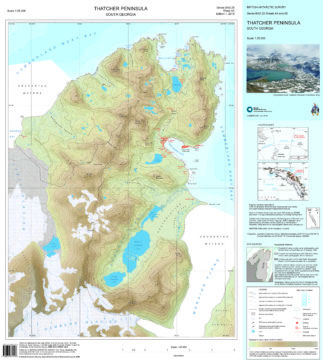
This double-sided map features both a topographic and a satellite image map of Thatcher Peninsula, South Georgia. The topographic map includes contours at 25 m intervals and the locations of moraine, ice, rivers and lakes. The map covers King Edward Point, the BAS Research Station, and man-made structures are shown. Side B shows a VHR satellite image of the peninsula, with selected place names. Local information about cultural and natural history is also provided.


